Efftup
Senior Member.
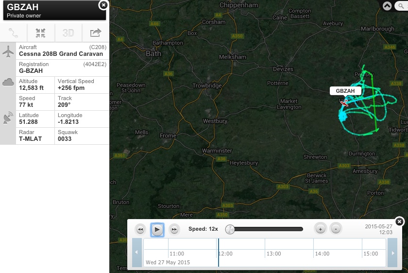
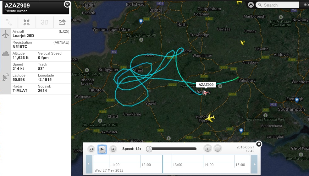
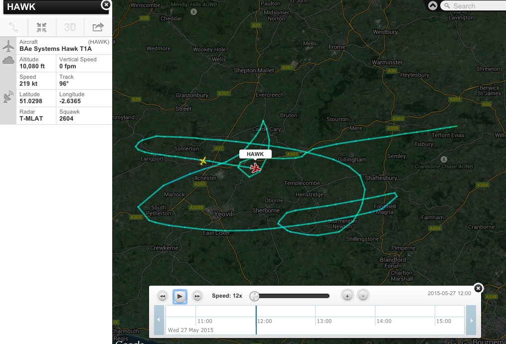
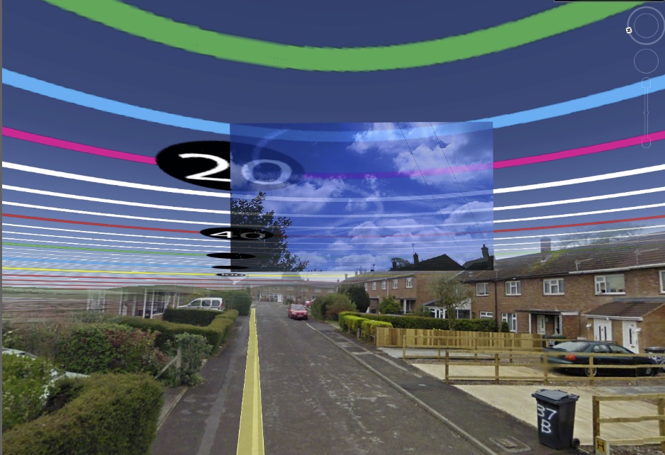
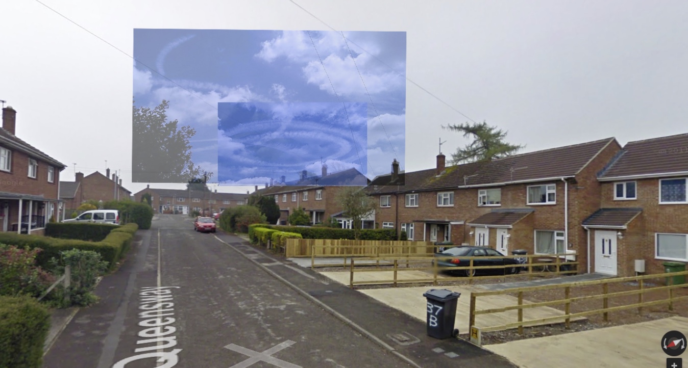
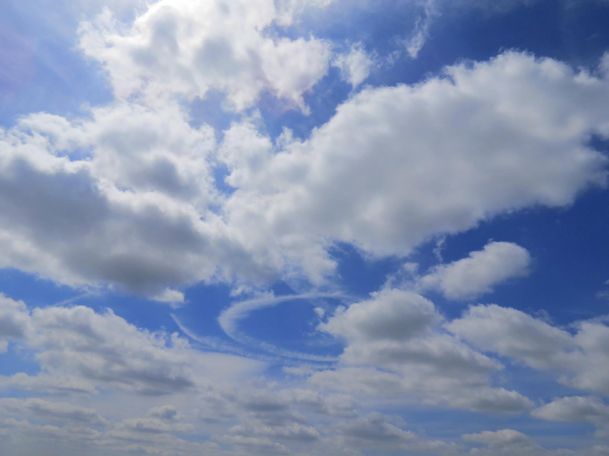
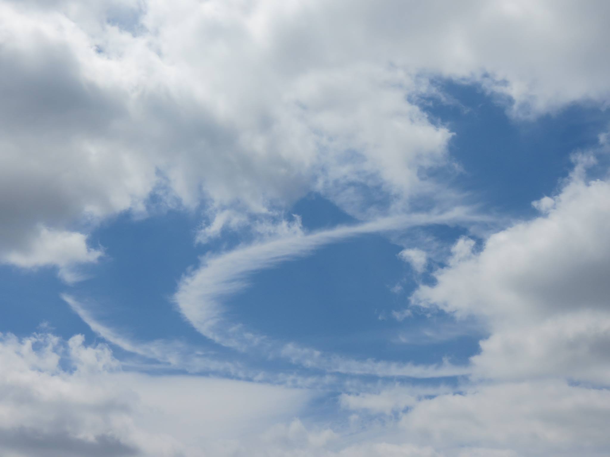
Sadly I was driving and didn't stop to take any photos but earlier today, (approx midday 27/5/15) I was driving down the A36 in the direction of Warminster and when I was at Standerwick, I saw a contrail that was definitely a complete circle. which I have never seen before. it looked like two loops and at one point I could see a plane much higher up that appeared to be turning in a circular radius but it must not have persisted cos I lost it shortly after ( I did have to pay attention to the road after all).
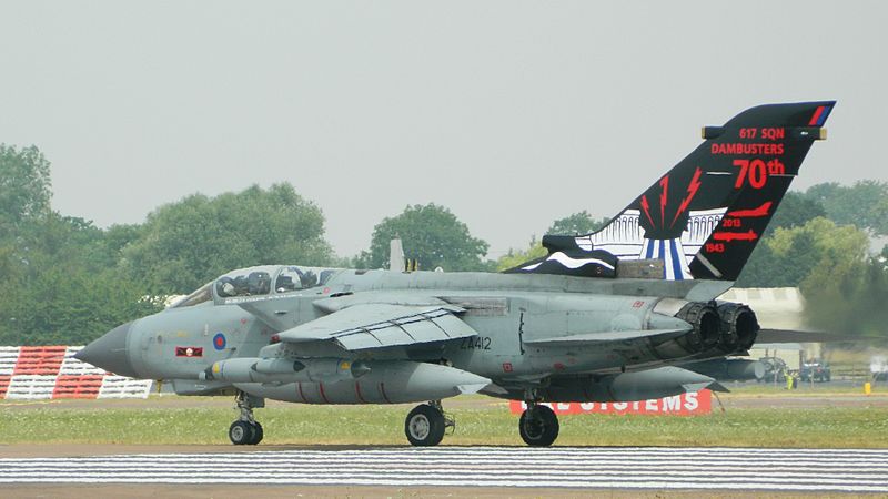
upon playing back FR24, I did find an RAF Hawk nmessing about a bit AND an RAF RJ100 QQ101 from RAF Upavon which appears to have made 2 full circles at least but the height seems VERY low for making a contrail (8,000 ft or less) particularly on a sunny day.
anybody got any answers?
upon playing back FR24, I did find an RAF Hawk nmessing about a bit AND an RAF RJ100 QQ101 from RAF Upavon which appears to have made 2 full circles at least but the height seems VERY low for making a contrail (8,000 ft or less) particularly on a sunny day.
anybody got any answers?
Last edited:
")