New poster, been following this for a few days.
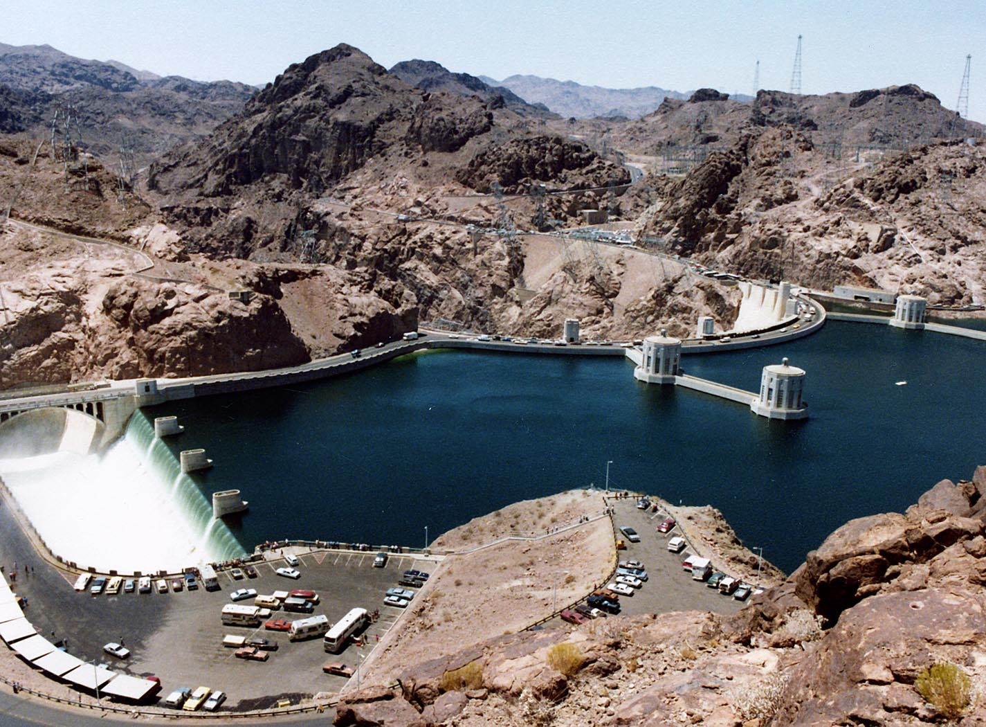
I've been to Oroville Dam a few times, most recently twice in 2014 (Feb & Oct) to photograph a variety of spots during the drought.
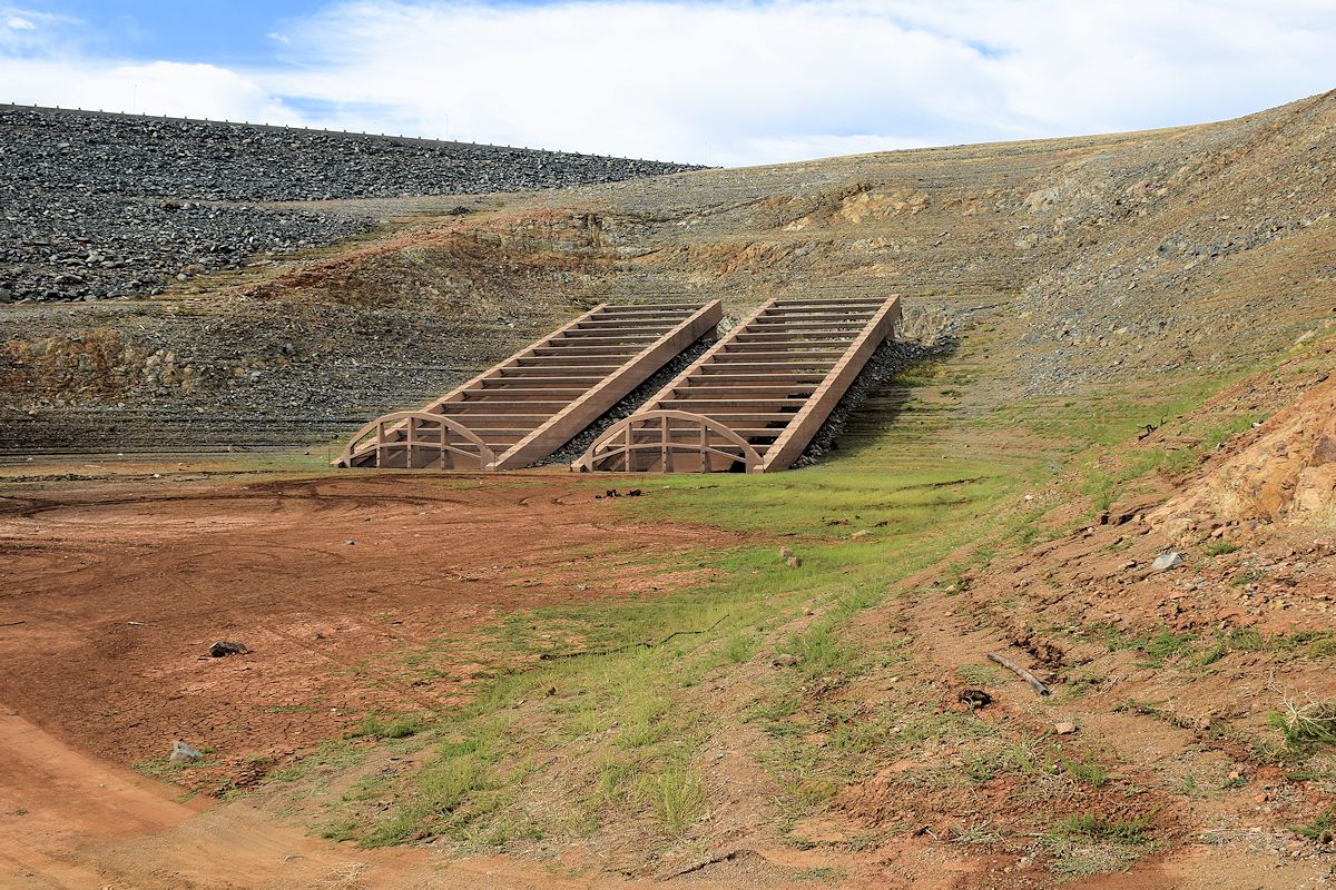
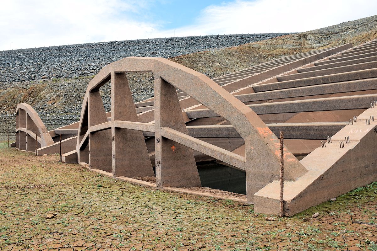
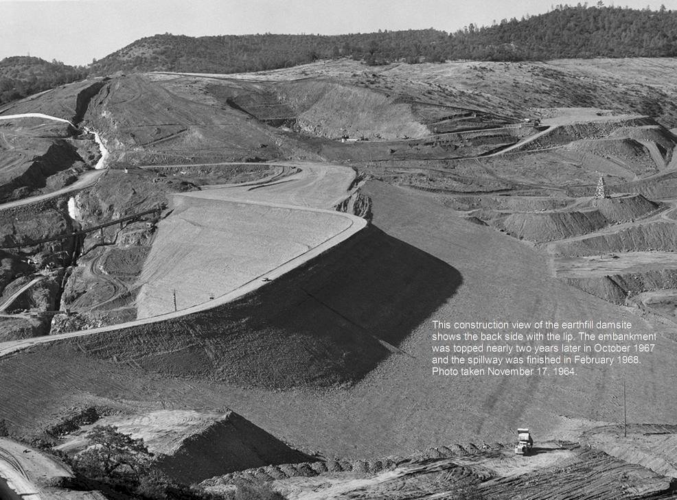
A question was raised about the grating partially visible on the lake side of the dam near the spillway. I actually asked someone working at the lake about this when I was there and they are in fact intakes, but from what he told me they were unfinished.
There are two you can see near the road that leads over the top of the dam on the way to the boat launch lot that's next to the emergency spillway, but apparently at some point a decision was made to build a couple more and at some other point progress was halted on them. Their placement would have been at a higher level than the original ones along the lakeside.
I don't know if they did anything to finish them and put them into operation between late 2014 and now, but when I was there they didn't even have any of the trash grating the others do.
If anyone would like to look at what I saw when I visited the two times I mentioned, you can go
here, but I'm throwing a couple into the comment. There are some close-ups of those intakes in the Oct gallery. I also explored the Lake Shasta area in order to see a number of spots that were never demolished prior to the dam's completion.
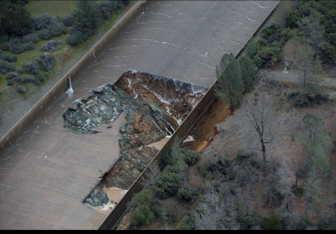
I've appreciated the information here from the standpoint of an observer, and it's been pretty eerie to see what's happened at Oroville so soon after I checked things out.

") so... he is saying the ROAD is the sacrifical plug?
so... he is saying the ROAD is the sacrifical plug?