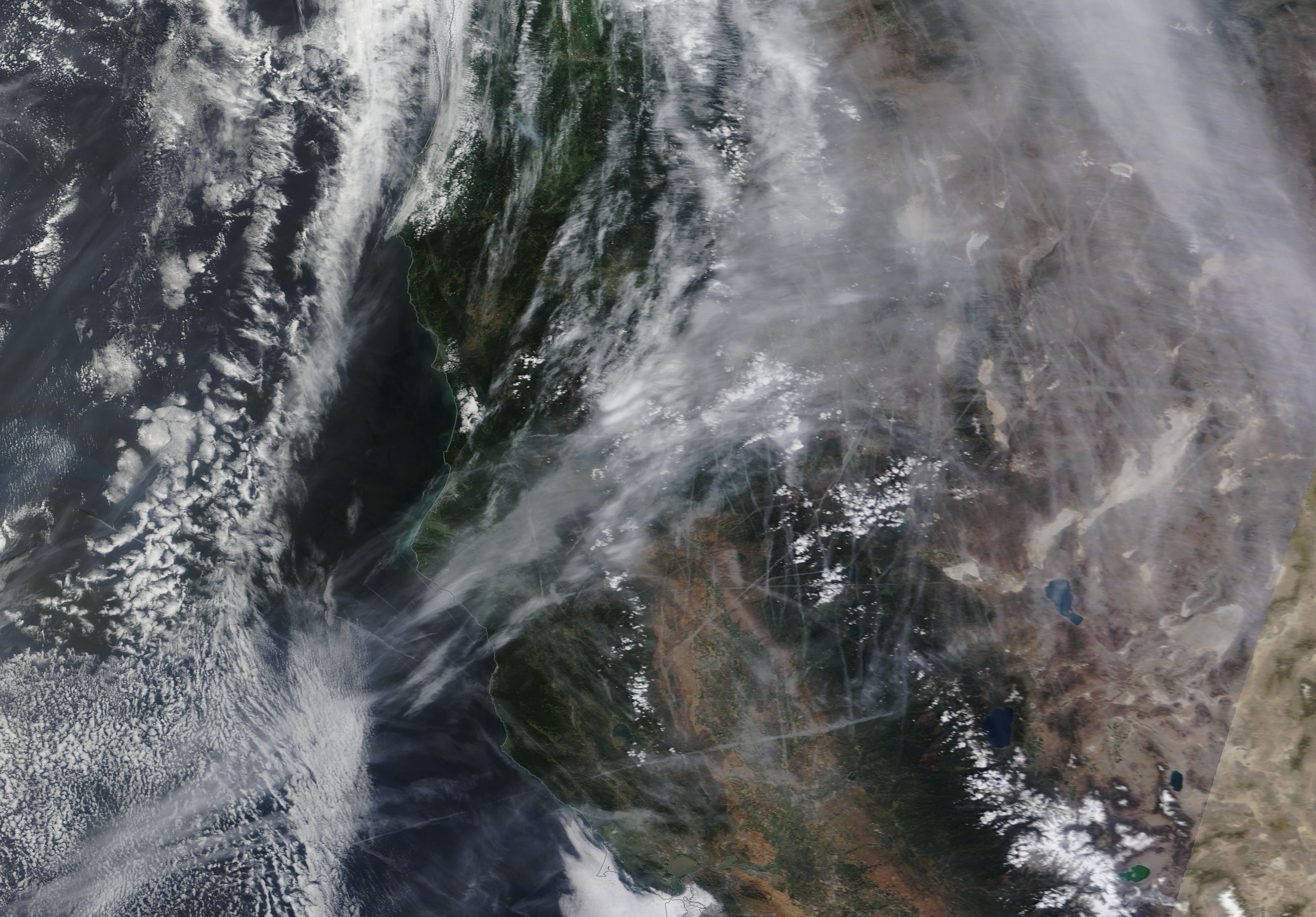
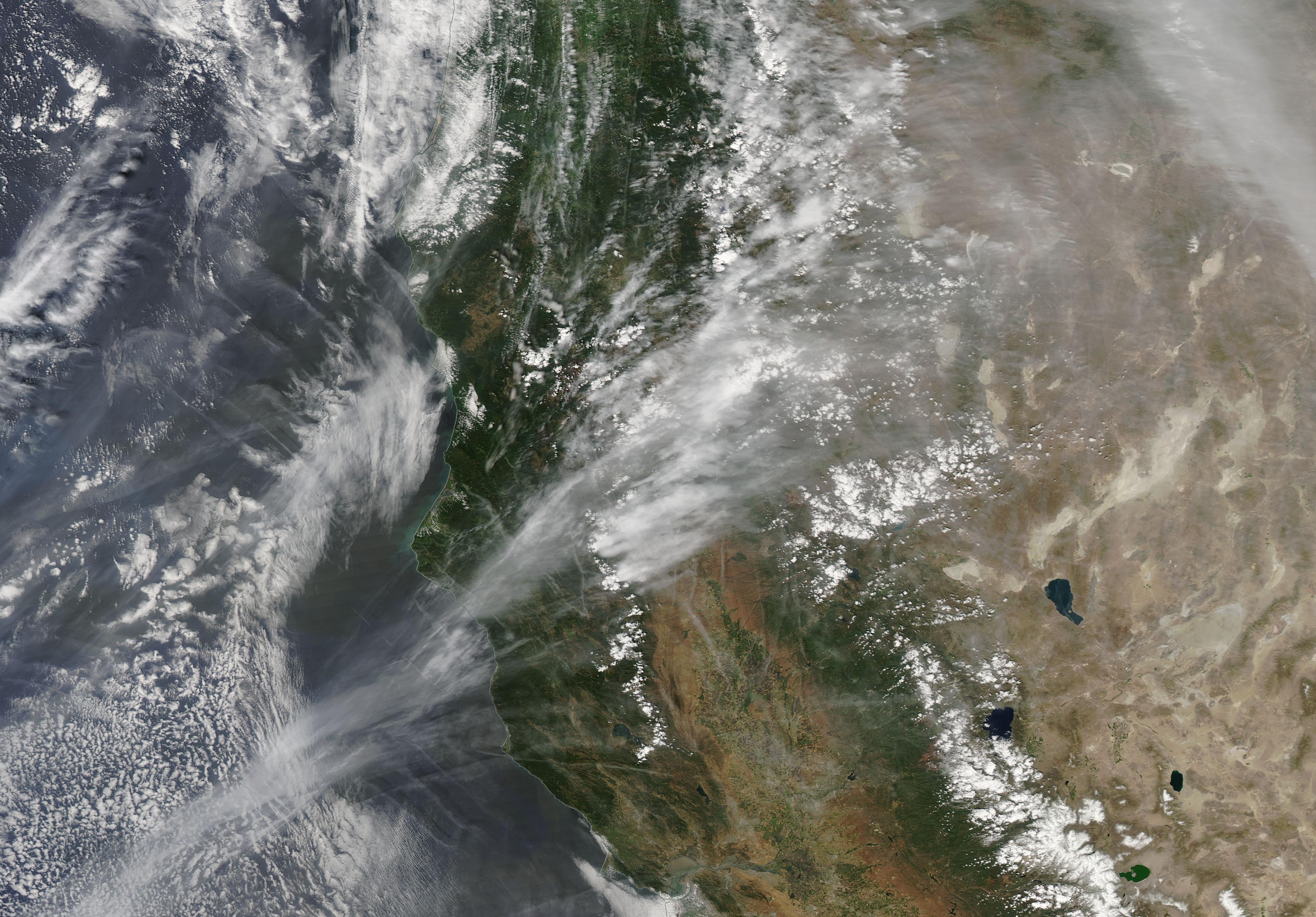
I have matched contrails in the OP photo to those in the Terra satellite image. I've downloaded a KMZ Google Earth file from
http://lance-modis.eosdis.nasa.gov/imagery/subsets/?subset=AERONET_Trinidad_Head.2015130.terra.250m,
raised the image to a contrail altitude of 10,600 meters and looked at it from the ground:
View attachment 12786
To get the match, I've moved the viewpoint about 90 km to the East of Redding. This is about one hour downwind at the forecasted wind speed of 85 km/h. As the Terra image had been taken at 19:35 UTC (12:35 PDT), this match confirms the time of OP photos (about 11:30 PDT), as well as its NE viewing direction.
The resulting GE image was manipulated before and after screenshot to enhance the contrail images and to reduce the ground features in the "sky".
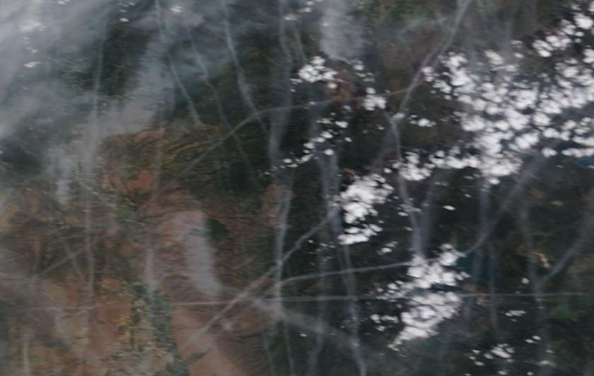
PS No loop or U-turn contrails are present in either of the satellite images (
#42).

")


")


