http://www.bigbreakingnews.com/2014/03/luggage-found-floating-at-sea-possibly.html
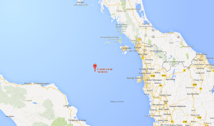
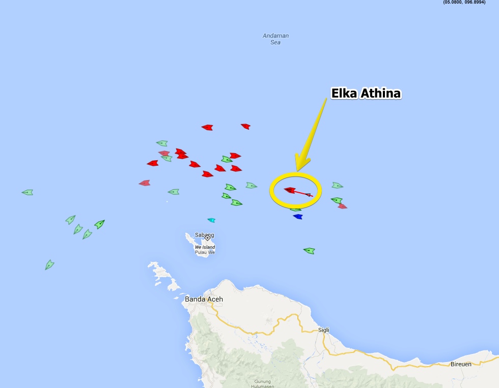
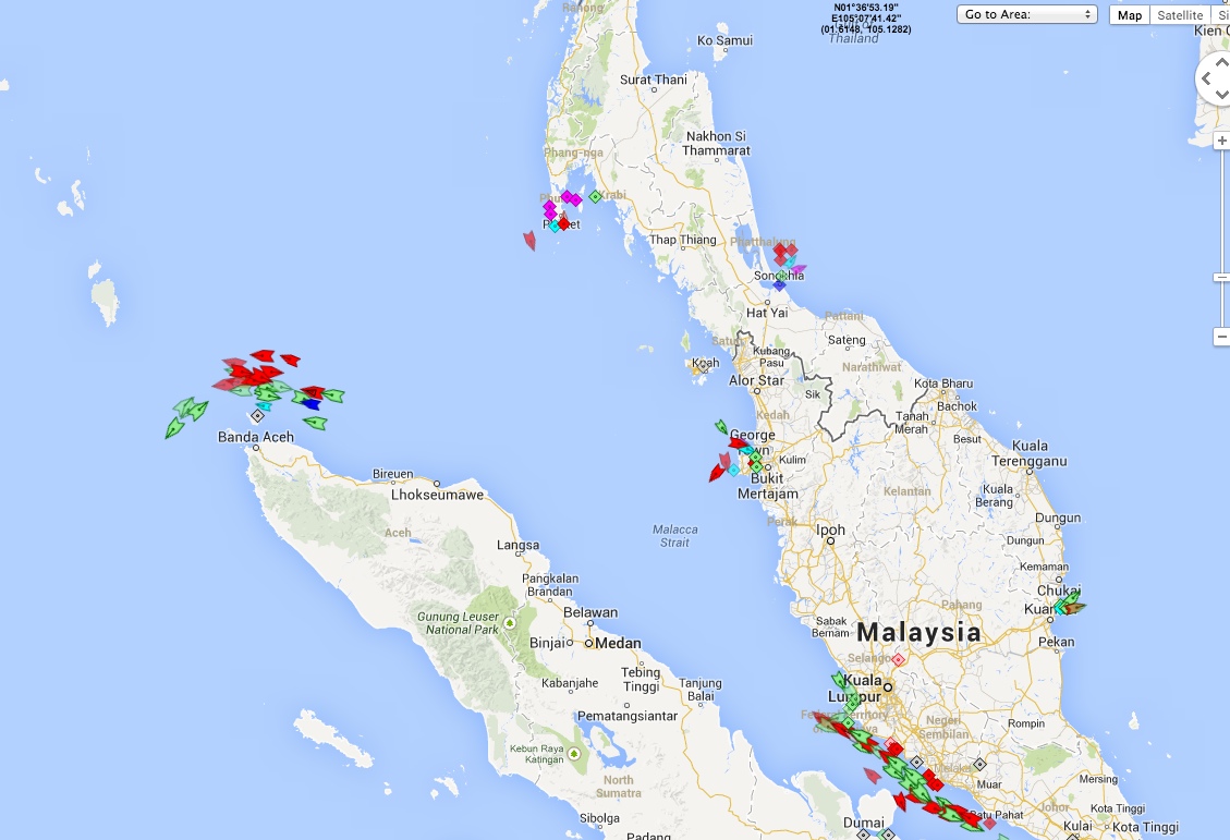
This is in a very busy area of the Malacca Strait, with lots of other ships:
http://www.marinetraffic.com/en/ais/home/centerx:95.87773/centery:6.1093/zoom:10/mmsi:240277000
Original Greek report: Google Translated:External Quote:Crew on a Greek flagged oil tanker are responding to radio reports of suit cases found floating in the Straits of Malacca, between Malaysia and Indonesia, Greek media reported.
The Oil and chemical tanker, the Elka Athina, reported to media that it was steaming toward a zone identified as a field of debris, including what appeared to be aircraft passenger's luggage.
The crew was responding to a report from an Indonesian source, according to the translation of the report.
External Quote:
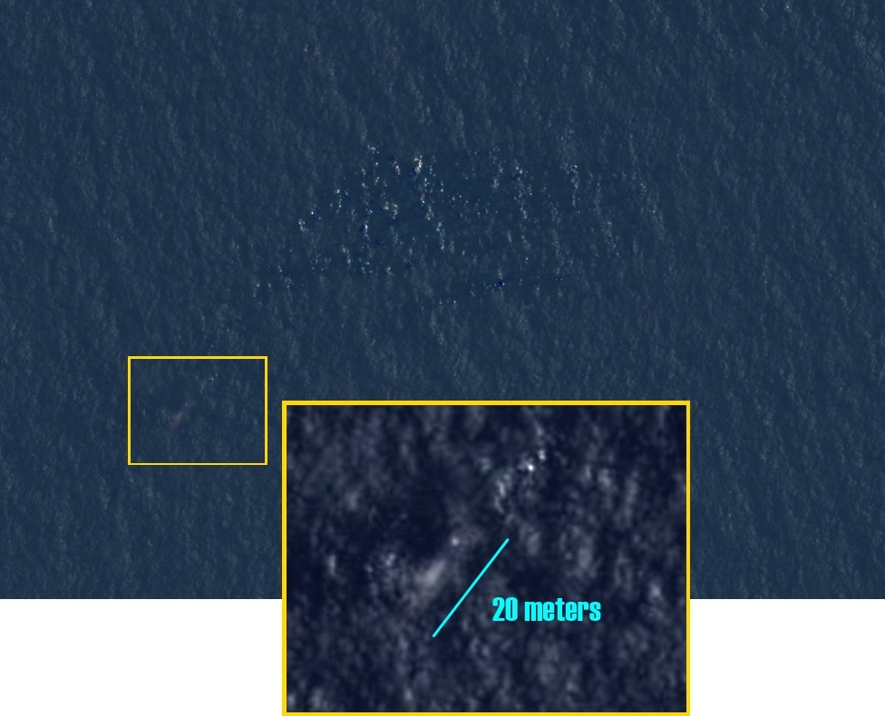
According to exclusive information of the Greek ship iefimerida «ELKA Athina» interests of the shipowner Karnezi received information about the existence of objects at sea in the Straits of Malacca with evidence that these are the first findings from the extinct Boeing.
Specifically, a few hours ago got a message from a coastal station of Indonesia with position: width 0551 length 09657.5 northern and eastern that found in suitcases that may belong to the passengers of the fateful flight of Malaysia Airlines. Master of ELKA Athina is Dimitris Zampelis and second officer Dimitris Karagiannis. To iefimerida contacted shortly before the second officer Mr Karagiannis, who confirmed the message there the luggage area . As stated, the signal was point which is about 4 hours from the place and everyone is awake by that time.
Πηγή: Ελληνικό πλοίο έλαβε μήνυμα για αντικείμενα από το χαμένο Boeing στη θάλασσα | Ειδήσεις και νέα με άποψη http://www.iefimerida.gr/node/147254#ixzz2w9KyHzXE
This is in a very busy area of the Malacca Strait, with lots of other ships:
http://www.marinetraffic.com/en/ais/home/centerx:95.87773/centery:6.1093/zoom:10/mmsi:240277000
Last edited: