
Efftup
Senior Member.
I think the answer to this question might help people understand better what they are seeing in the sky.
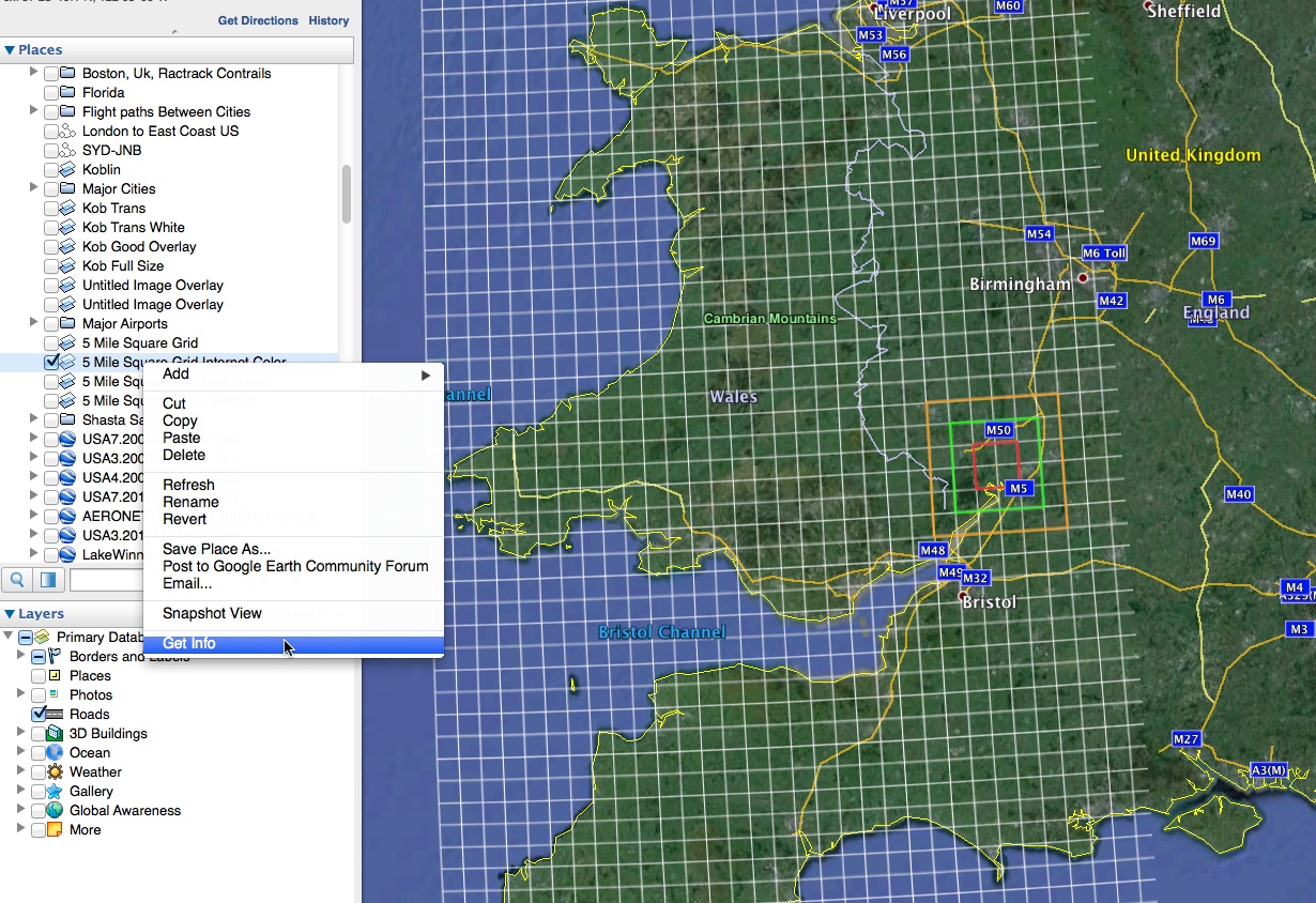
I live in Bristol in the UK.
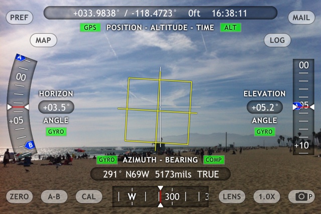
the road I live on is a few degrees off a straight North/South direction, so my lounge window is pointing slightly south West.
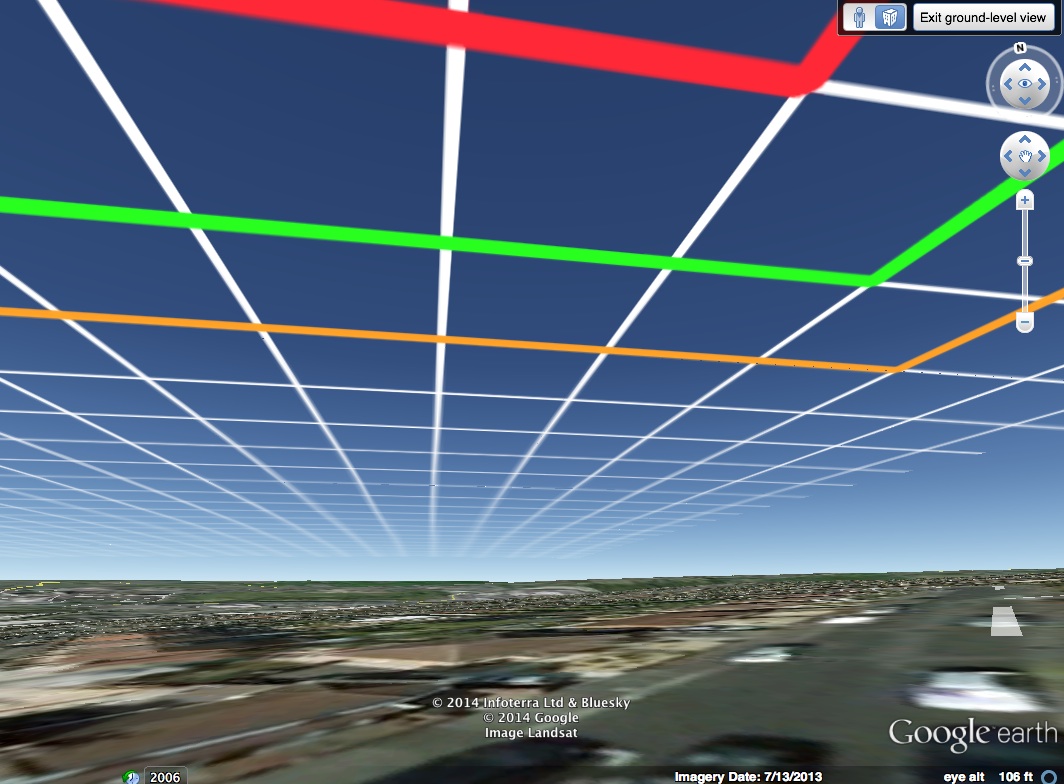
I was looking out of my window and saw a plane making a contrail slightly more south west of my position.
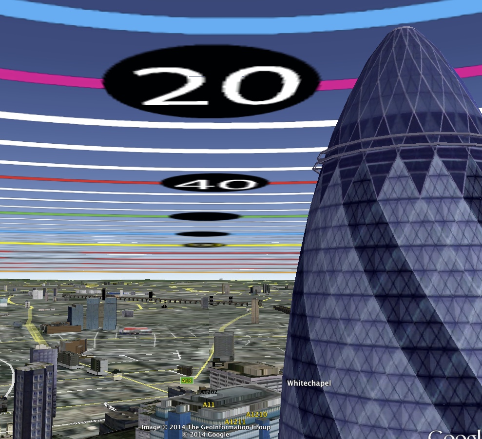
I then checked on flight radar 24 without actually measuring exact angles etc, but the sky was quite empty at that point, and there was only one plane that could possibly match up, and it was flying near Cardiff, approximately 26 miles from my location. It did look really tiny and I would definitely not have seen it without the trail behind it.
I then a few minutes later saw another one which APPEARED to be at the same angle and the only plane that matched up on Flight Radar 24 was over Barnstaple(at about 36,000ft) approximately 32 miles away and more to the South.
Considering just how hard it is to judge angle and distance if you aren't used to it, is this normal?
or is it possible I was seeing Flybe jets that have no ADS-B transponder and only show up on MLAT
data if you are lucky or military planes that won't show up anyway?
They did seem to correspond to the North/South air corridor that takes a lot of traffic down to Southern Europe.
I live in Bristol in the UK.
the road I live on is a few degrees off a straight North/South direction, so my lounge window is pointing slightly south West.
I was looking out of my window and saw a plane making a contrail slightly more south west of my position.
I then checked on flight radar 24 without actually measuring exact angles etc, but the sky was quite empty at that point, and there was only one plane that could possibly match up, and it was flying near Cardiff, approximately 26 miles from my location. It did look really tiny and I would definitely not have seen it without the trail behind it.
I then a few minutes later saw another one which APPEARED to be at the same angle and the only plane that matched up on Flight Radar 24 was over Barnstaple(at about 36,000ft) approximately 32 miles away and more to the South.
Considering just how hard it is to judge angle and distance if you aren't used to it, is this normal?
or is it possible I was seeing Flybe jets that have no ADS-B transponder and only show up on MLAT
data if you are lucky or military planes that won't show up anyway?
They did seem to correspond to the North/South air corridor that takes a lot of traffic down to Southern Europe.


")