Info on the beam:
External Quote:
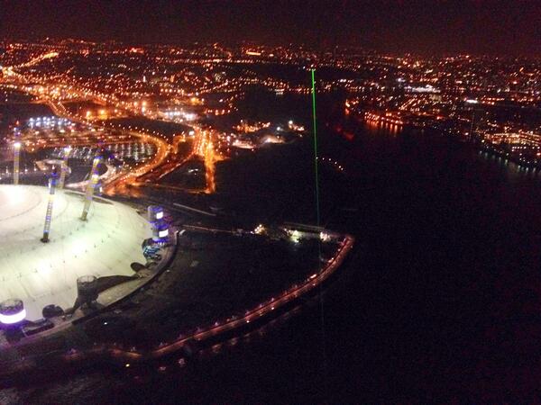
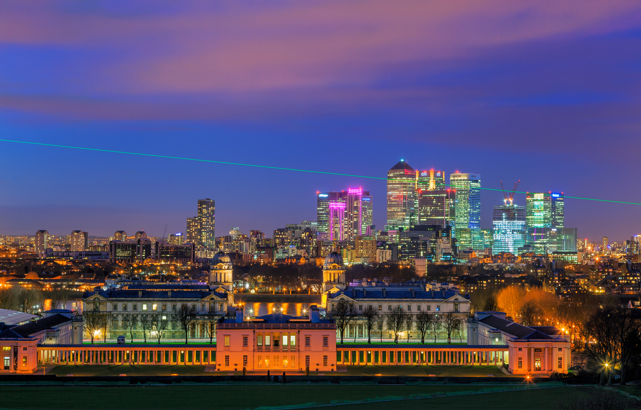
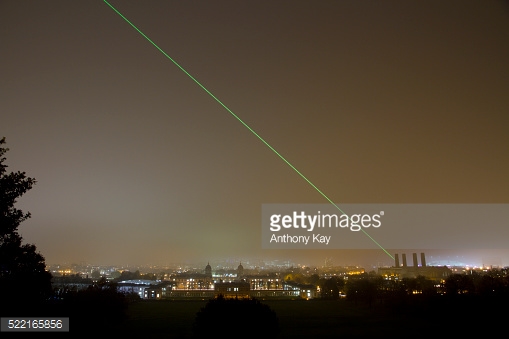
The Meridian laser marks the route of the Greenwich Meridian by night in a northerly direction from the Royal Observatory. Under good viewing conditions, it is visible at a distance of over 36 miles with the naked eye and over 60 miles with binoculars.
In order to see the beam when more than a few miles from the Observatory, the observer needs to be standing more of less beneath it (definitely no more than a few hundred metres or so to either side), and looking south, back along the beam towards Greenwich. A good horizon helps.
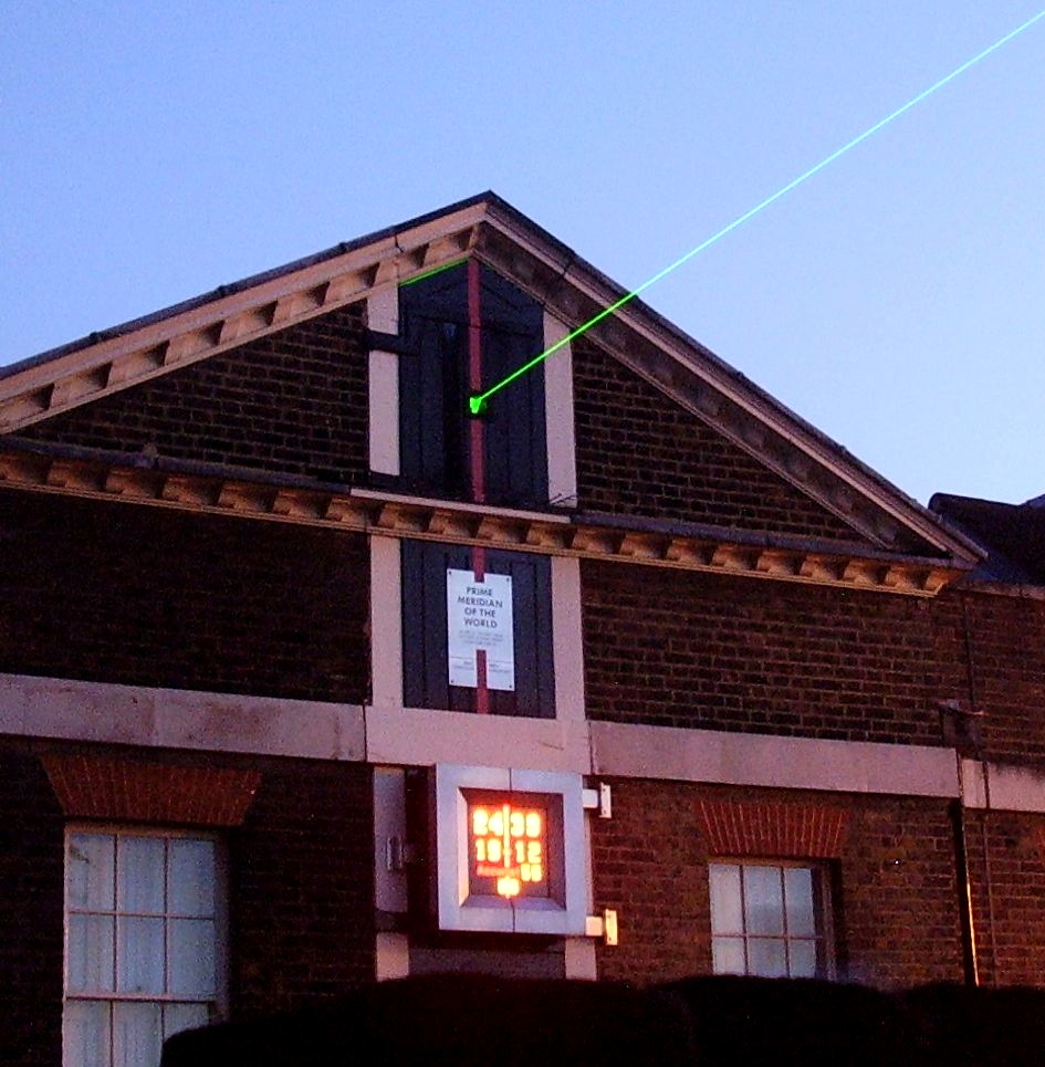
Titled 0 Degrees, and the work of artists Peter Fink and Anne Bean, the laser was 'unveiled' on 1 May 1993. In 1999, a replacement Millennia VS Diode-Pumped, cw Visible Laser was installed. This has a maximum output power of about 5 W, and a beam with a wavelength of 532 nm. The unit is located beneath the Airy Transit Circle and the beam 'fired' along the Meridian from above. When correctly adjusted, the beam should pass about six metres to the east of the obelisk erected in 1824 on the Bradley Meridian some 11 miles to the north at Pole Hill. The centre of the adjusted beam passes within inches of a tower block erected 2 miles from the Observatory at Blackwall in 2007–08. The amount of light spill onto it depends on the amount of forward scattering of the beam – something that is dependent on the prevailing atmospheric conditions at the time.
Source:
www.thegreenwichmeridian.org/tgm/articles.php?article=14
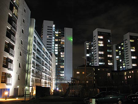
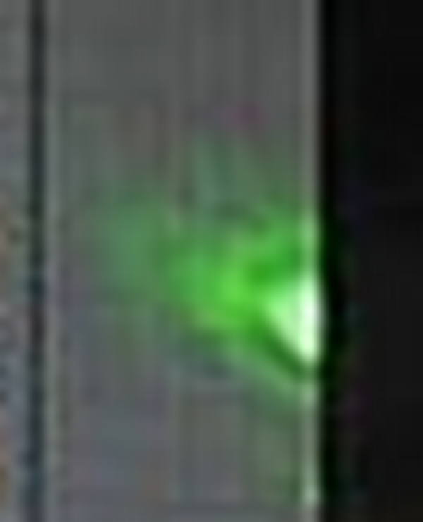
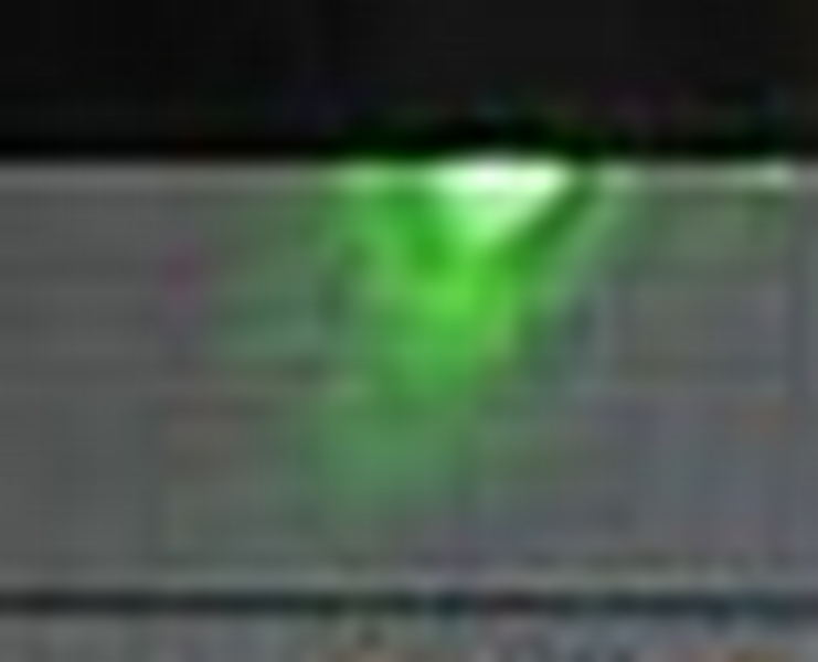
Photo of the beam 'hitting' the Elektron tower in Blackwall:
What's interesting for me about this picture, in relation to the Balaton experiment, is the amount of divergence of the laser. As the article above says, "the centre of the beam is a few inches from the building."
That's over a distance, from source to tower, of approximately 3542 metres.
(GPS coordinates for origin of laser: 51.477859, -0.001483; and that corner of the tower: 51.509734, -0.001481)
Also, the tower is 76.3 metres to the roof, with a floor-floor height of 2.9m (
source).
Don't know if that adds...

")