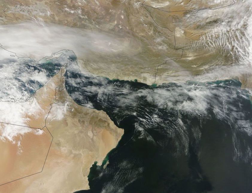
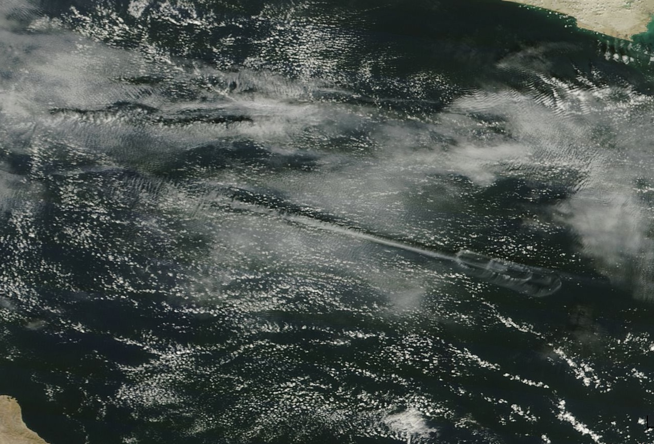
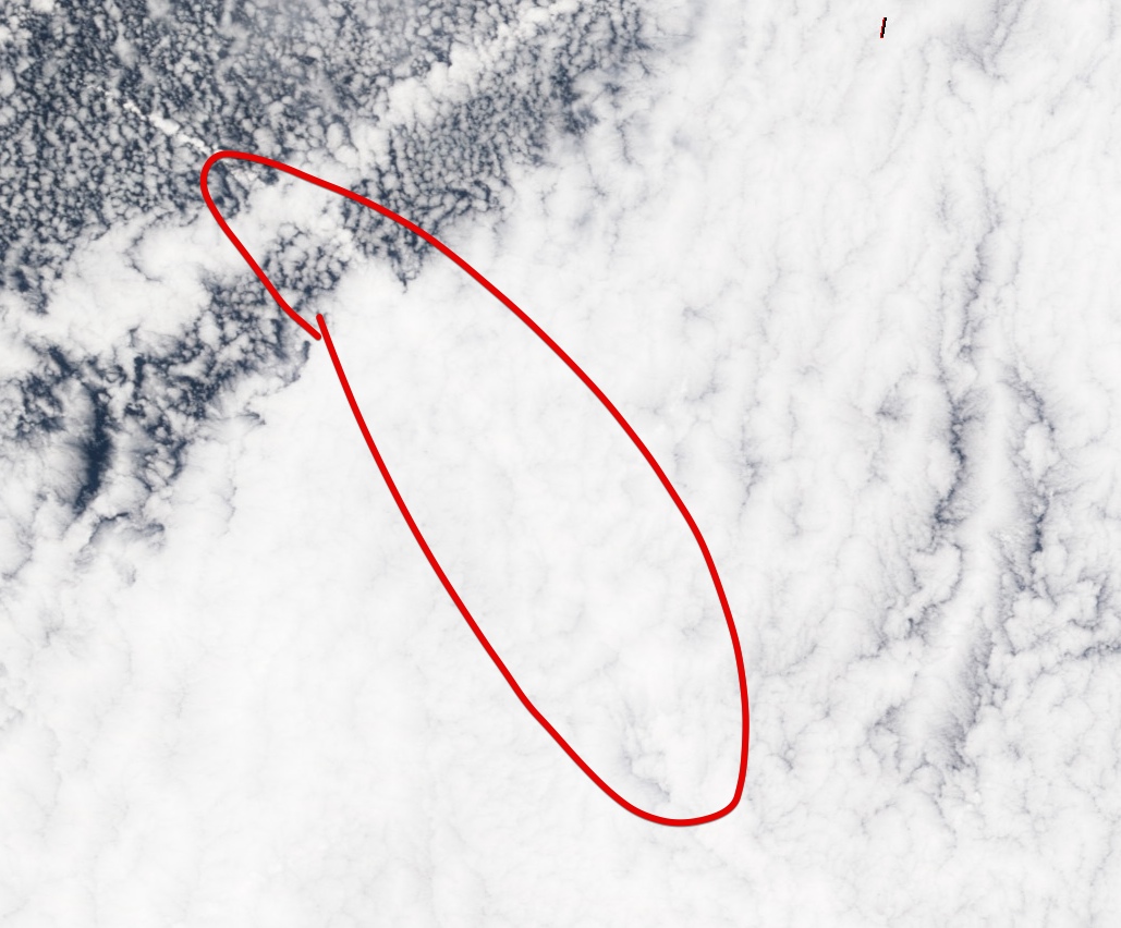
Ya know, those great satellite images are perfect for what I sometimes try to explain to people who believe in the 'chem"trail myth. I often will suggest that they take time to review any and all that they can find, and to compare to any going back decades, to see that there really is no appreciable change in the percentage of cloud coverage, globally.
Of course, this suggestion usually either falls on deaf ears...or, those I suggest it to never reply (perhaps out of embarrassment?), so I get no actual feedback.

")