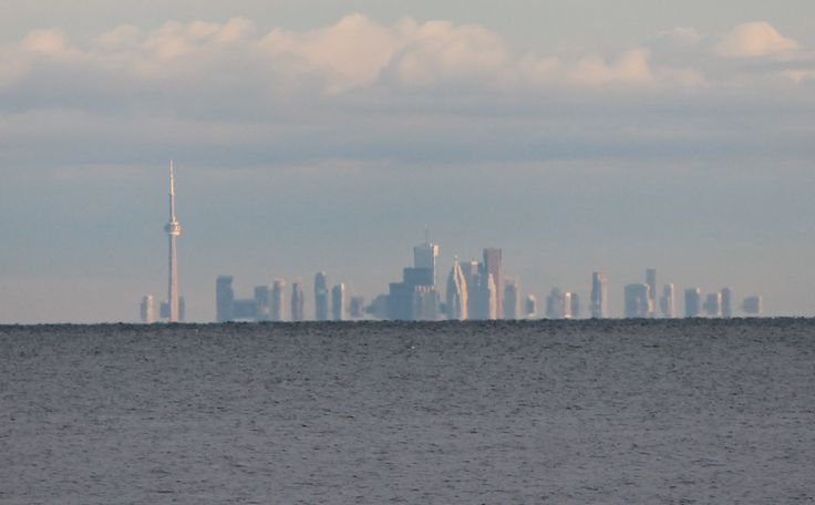
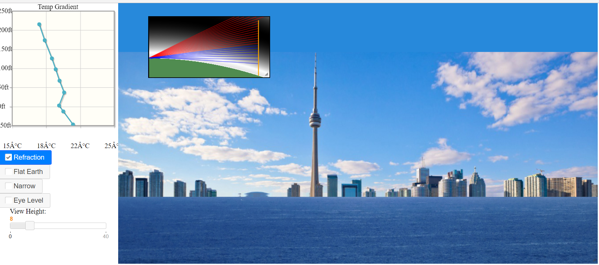
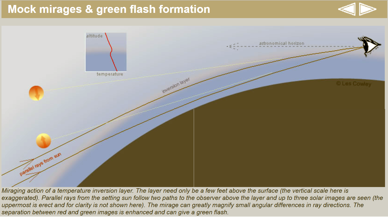
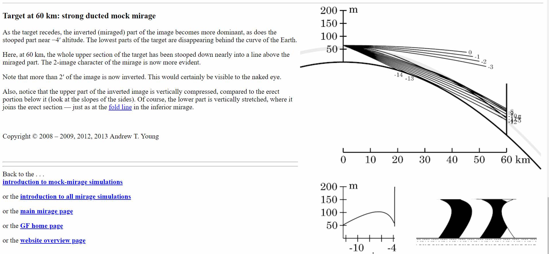
When people want to practically illustrate the curvature of the Earth, they often give the example of a boat disappearing over the horizon. While the boats example is perfectly valid, it's quite hard to observe and the effects of refraction make it confusing to interpret. It's also hard to repeat as you need a good boat.
Mountains, on the other hand, rise up above the distorting effects of refraction and you can usually get a very good fit to the peaks using Google Earth which allows you to show exactly how much is obscured by the horizon.
They are also very repeatable, weather permitting the distant mountain is generally visible in the same way many days of the year. For example observing the partial hiding of Catalina Island is an easy experiment anyone in Los Angeles can do with a quick ride to the beach.
I thought perhaps I'll start a thread collecting these examples, with locations, so that people can replicate them if they are having doubts about the rotundity of Earth, or just for a fun science experiment.
What you need is a tall island, preferably a mountain or volcano, that's between 30 and 60 miles off the coast. (It does not need to be an island specifically, but does need a mountain near its coast) You then need to take a photo of the island from near the waterline so that a significant portion of it is obscured by the horizon.
Then you need to demonstrate how much is hidden, you can do this by measuring it based on the camera field of view. Or by fitting it to the view in Google Earth from the same distance, but higher viewpoint.
Ideally you would have several photos from different altitudes, showing more if the land is visible from high ground, and a lot less down at 2 feet above the water.
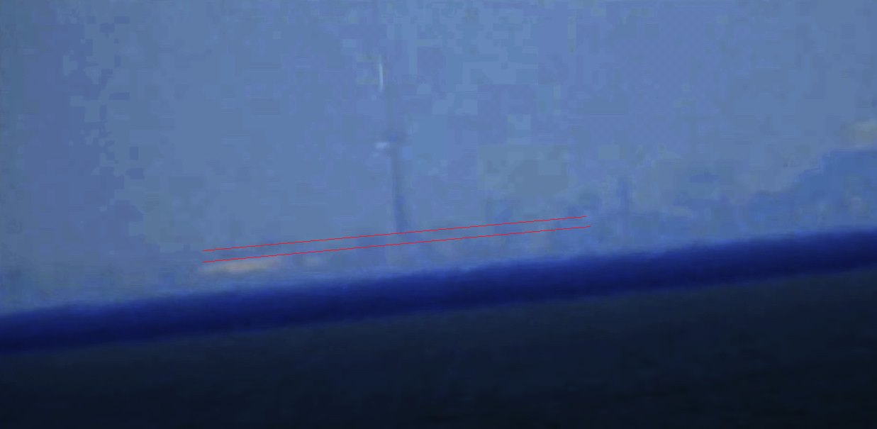
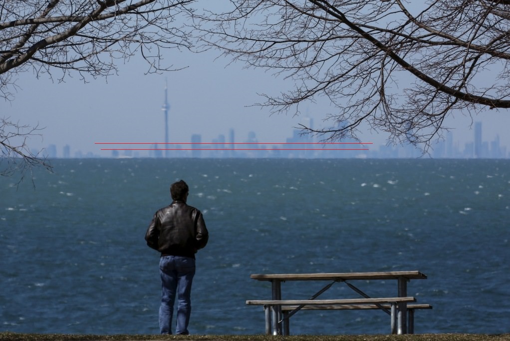
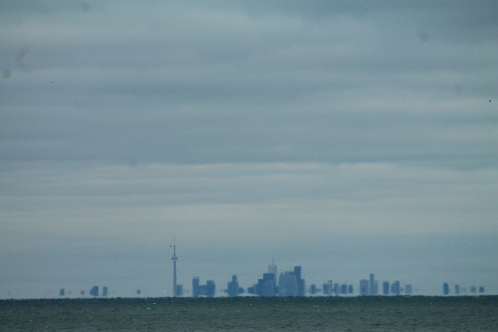
You don't have to take the photos yourself, you can use photos on the Internet of common places (like Hawaii). So long as you can identify the camera location, and the mounting being viewed, then you can apply the process and figure out how much is being hidden.
Surprisingly a great source of these photos is the people who believe the Earth is flat. Generally they miscalculate how much of a distant peak or skyscraper should be visible. They will forget to factor in the view height, or they will ignore refraction, or perhaps misidentify the peak. Then they will post the results on YouTube as proof that the Earth is Flat.
Here's a video discussing how to do the view matching for a group of buildings
Source: https://www.youtube.com/watch?v=ogzAufGmBNM
Last edited:

