U
Unregistered
Guest
[Mick: This is a spin-off thread, I added the title above]
Hey there,
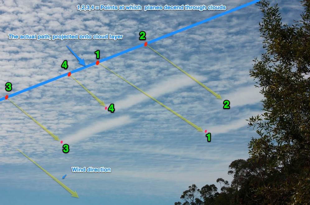
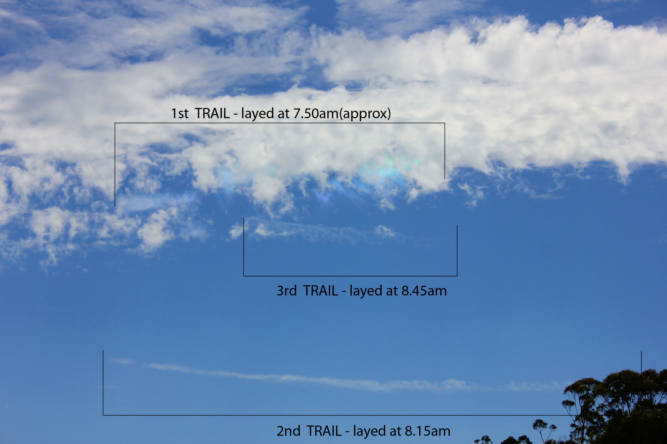
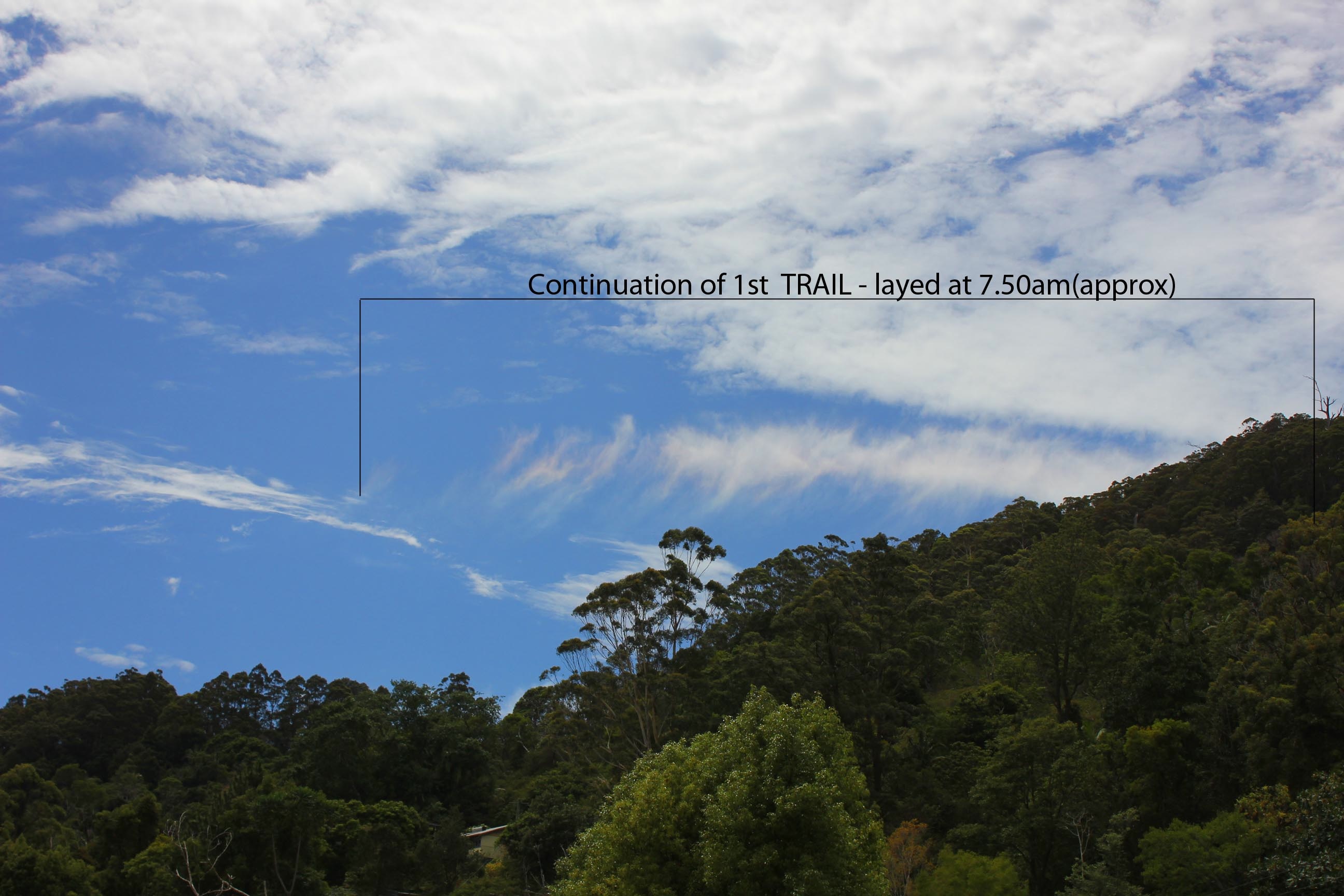
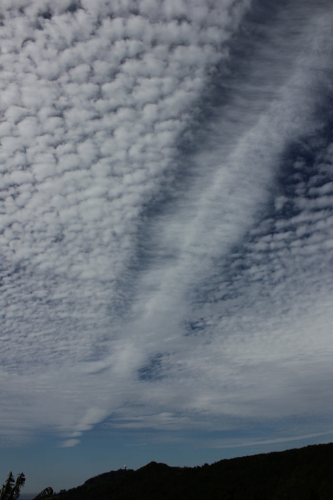
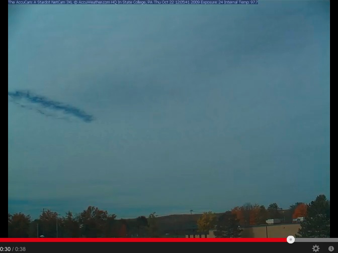
On the morning of December 3, 2012 i watched "1 plane" fly back and forth "3 times", over a specific spot in the sky, releasing short length "Trails".
Below are 2(of several) close up photo's i took.
As you will notice there are 3 "Trails".
On the release of the 3rd "Trail" the plane took off and 3 minutes later, the 1st "Trail" then developed an intense "rainbow spectrum"
through it.
Could someone please provide a rational answer to this -
Keep in mind, I am not here to argue, or debate the validity of belief, i am simply searching for a reason for the incident i witnessed.
http://www.mediafire.com/?ra4bk7jdtlk1vra,fa9yvn3vbj0t7q1
http://www.mediafire.com/?ra4bk7jdtlk1vra,fa9yvn3vbj0t7q1
Cheers.
Hey there,
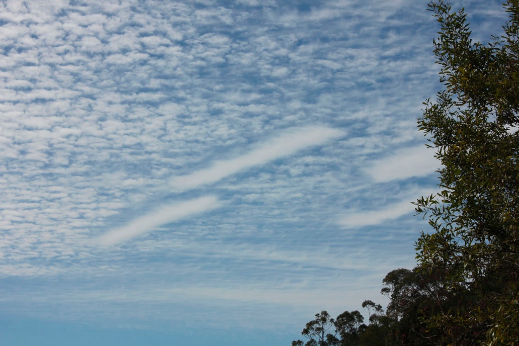
On the morning of December 3, 2012 i watched "1 plane" fly back and forth "3 times", over a specific spot in the sky, releasing short length "Trails".
Below are 2(of several) close up photo's i took.
As you will notice there are 3 "Trails".
On the release of the 3rd "Trail" the plane took off and 3 minutes later, the 1st "Trail" then developed an intense "rainbow spectrum"
through it.
Could someone please provide a rational answer to this -
Keep in mind, I am not here to argue, or debate the validity of belief, i am simply searching for a reason for the incident i witnessed.
http://www.mediafire.com/?ra4bk7jdtlk1vra,fa9yvn3vbj0t7q1
http://www.mediafire.com/?ra4bk7jdtlk1vra,fa9yvn3vbj0t7q1
Cheers.
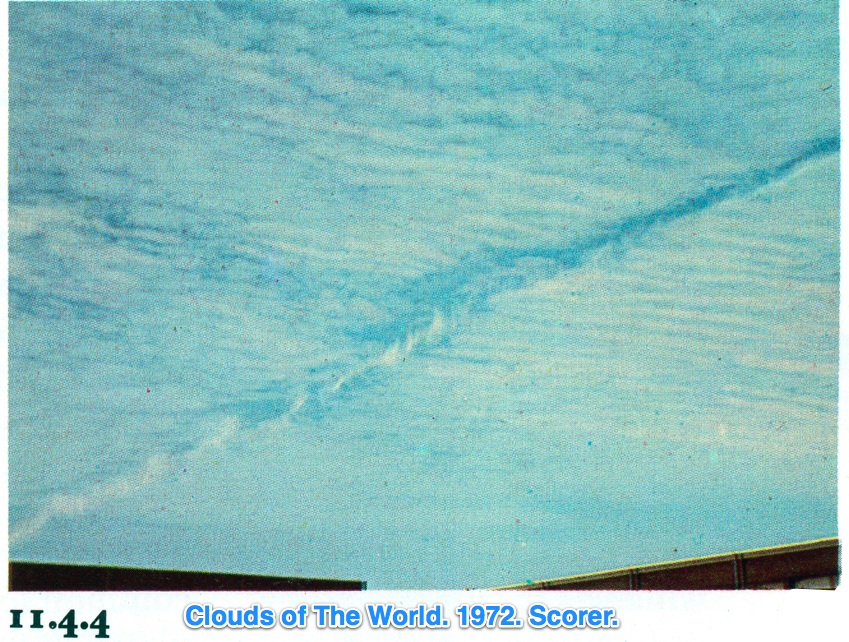
Those are all normal contrails.
Here is Mick's website which explains such observations in scientifically correct and verifiable detail.
Have you taken the initiative to read and learn from it?
http://contrailscience.com
You appear to have little understanding of aviation or contrail formation.
Have you read and understood EVERY aspect of these two atmospheric science papers I linked to previously?
http://journals.ametsoc.org/doi/pdf/...O%3E2.0.CO%3B2
http://cires.colorado.edu/science/gr...llenberg72.pdf
Please answer Yes or No and perhaps indicate which atmospheric science facts and principles you cannot grasp.
For instance, do you fully understand that water vapor is invisible and that moist humid air is lighter than dry air?
Last edited by a moderator:

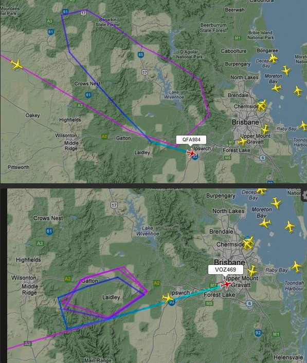
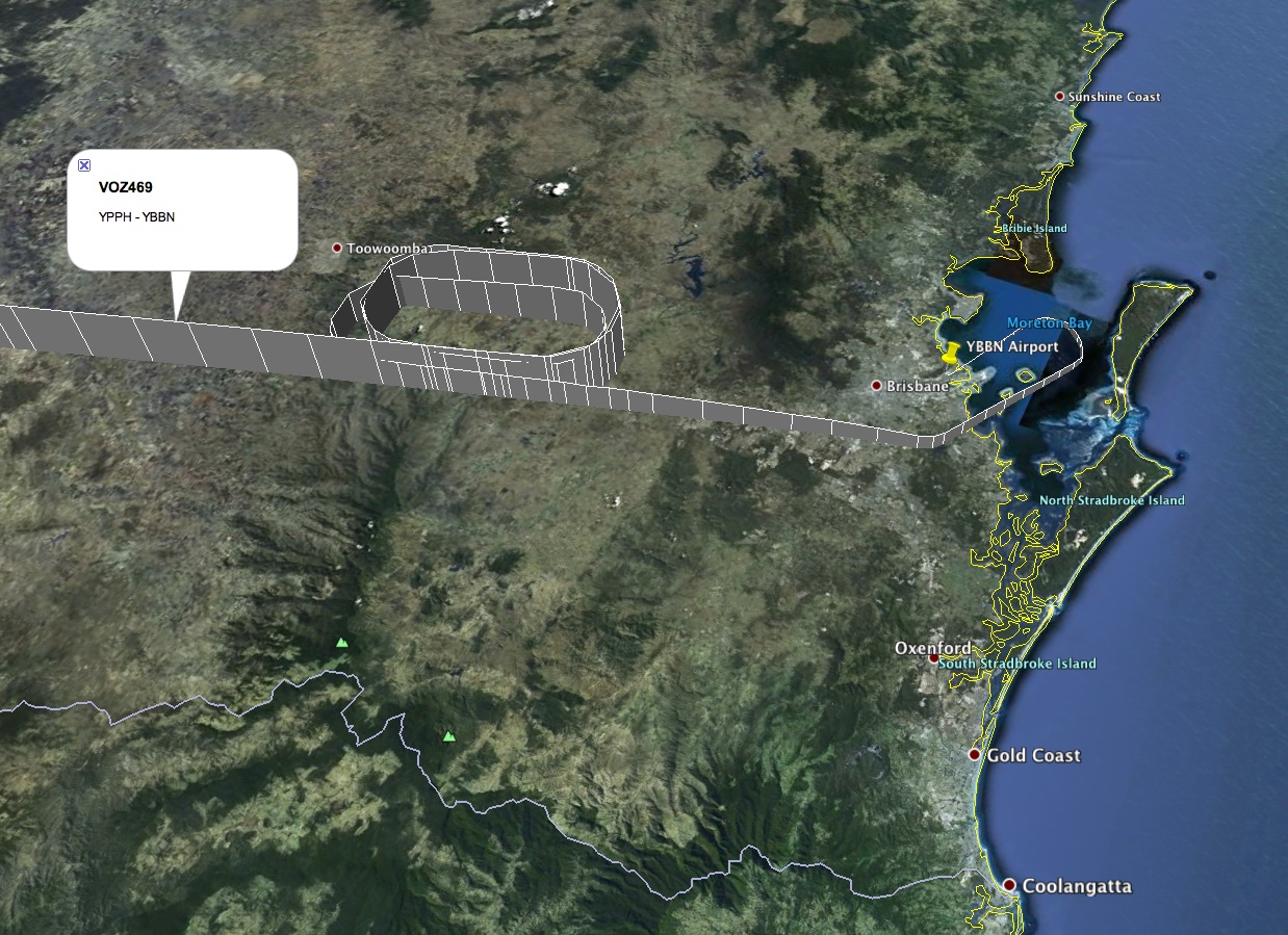
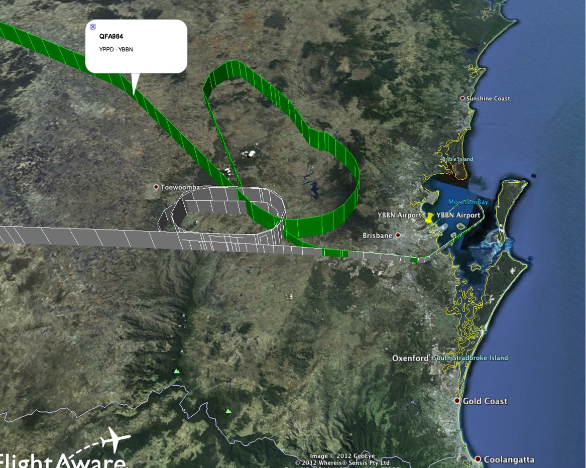
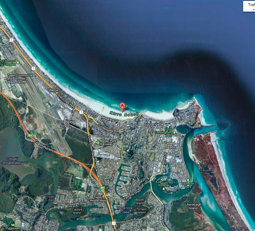
") ) Yes I am a pilot for Qantas BTW; Kirra is in Sydney's northern suburbs correct? Your explanation is a bit hard to follow but it sounds as though either saw some aircraft being subjected to the ATC holding I mentioned (here is a PPRUNE thread talking about what started the previous day-
) Yes I am a pilot for Qantas BTW; Kirra is in Sydney's northern suburbs correct? Your explanation is a bit hard to follow but it sounds as though either saw some aircraft being subjected to the ATC holding I mentioned (here is a PPRUNE thread talking about what started the previous day-