Unusual Contrail Off Norway

cloudspotter

Senior Member.
A screenshot of this trail off the West coast of Norway was posted on the Chemtrails Global Skywatch Page.

norway.JPG


Link http://go.nasa.gov/2c6Sphl

From the shape it appears to come from over the mainland, perform three loops and then head north before disappearing west over the Atlantic towards Iceland.

I've been unable to spot it on the Flightradar24 with no luck and I've tried on Planefinder but that loses track of aircraft not far off the coast.

One think that strikes me is that despite seeing many flights at contrail altitude in the area on the replay I can only spot one other trail on the satellite view
 
Last edited:
It looks like AWACS circles stretched by the map distortion. They go anticlockwise, opposite to the normal holding pattern.

Also, I recall analysing similar contrails in the same general area five years ago and identifying them as from an AWACS.

EDIT

Here are crops from the 'original' untransformed swaths where the orbits are compressed laterally:
Screen Shot 2016-09-02 at 15.16.43.png
Screen Shot 2016-09-02 at 15.18.11.png
 
Last edited:
I have added a cropped Worldview image to Google Earth, manually correcting its aspect ratio. The measuring tool gives the diameter of the resulting circles being about 50 km. This is a bit wider than my previous measurements of known AWACS circles (~40 km in diameter), but probably within the margin of error of my method:
Screen Shot 2016-09-02 at 15.53.52.png
 
I should have added that it was immediately blamed for the death of 300 reindeer

http://www.wired.com/2016/08/lightning-can-kill-300-reindeer-one-strike/

External Quote:
More than 300 reindeer corpses were found piled up and strewn across the mountainside, in a natural massacre that Norwegian officials are calling the deadliest lightning strike in their country's history.

An interesting claim, considering the reindeer died on Friday August 26, and the contrails were on Monday August 29.
 
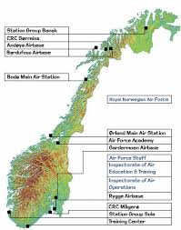
Ørland in Norway is a Forward Operating Location for the NATO E-3 AWACS fleet.

upload_2016-9-4_21-25-34.png


External Quote:
Forward Operating Location (FOL) Ørland was established in 1983. It's situated on the coast, more or less in the middle of Norway. It is an integrated part of the NATO E-3A Component but all personnel are Norwegian. Our Host Base is Main Air Station Ørland, which is the home of the 138 Air Wing.
http://www.e3a.nato.int/eng/html/organizations/fob.htm
 
About 7 years ago, these circles were more often to see above the southern half of Holland. With binoculars I was able see the dish mounted on top of the AWACS-DC-8 from my apartment. Probably they came from the AirForce base Geilenkirchen or Eindhoven. It took approx 13 minutes to make one circle.


Jan.
 
With binoculars I was able see the dish mounted on top of the AWACS-DC-8 from my apartment.
I think it was Boeing E-3 Sentry, developed from 707. It was selected ahead of McDonnell Douglas's DC-8-based proposal in July 1970.
https://en.wikipedia.org/wiki/Boeing_E-3_Sentry

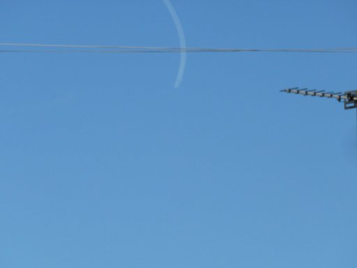
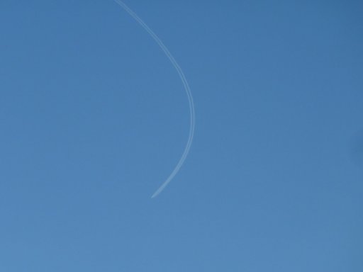
There is an AWACS area in North Norfolk, UK, some 20 miles to the north from my place to the nearest side of the orbit. It is used by both RAF and NATO planes. I saw a few times a E-3 circling there, indeed it takes about 12 minutes to complete one circle. For example, the following two images were taken 12 minutes 29 seconds apart:
P1090204.jpg P1090224.jpg
 
Back
Top