Jazzy
Closed Account
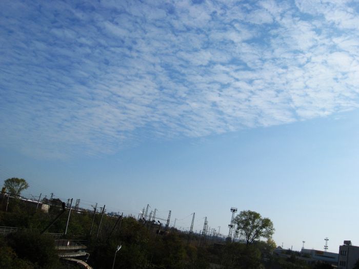
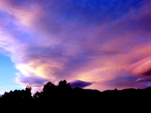
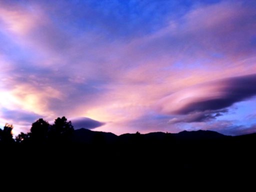
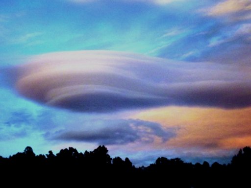
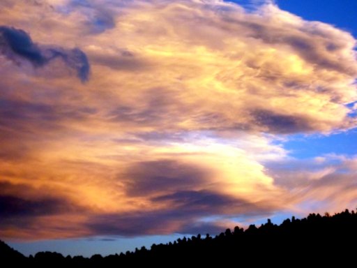
There are many fabulous types of clouds, and some set one to thinking. I live on a pile of 84 volcanoes called Tenerife, and its center has a caldera wall 10,000 feet high. The peak rises a further 3,000 feet out of the sunken caldera floor, to height of 12,000 feet.
The whole Atlantic airflow flows over it, forcing its tropopause to rise also. This forms a lenticular cloud. An inversion beneath the tropopause accounts for the separation. The 'back' of this lenticular cloud "boils" in a very interesting way... The widest point of the upper part of this cloud will be where the air is at its very coldest. Above that height the stratosphere warms with increasing height.
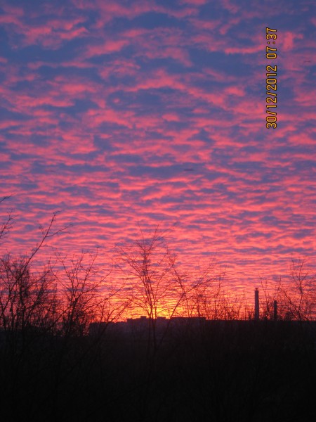
This very beautiful series (something about the colors!) was snapped quickly by my wife on her iPhone while I was discovering my camera battery was flat. Natty, that phone is.


Just - Wow!
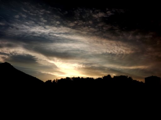
The whole Atlantic airflow flows over it, forcing its tropopause to rise also. This forms a lenticular cloud. An inversion beneath the tropopause accounts for the separation. The 'back' of this lenticular cloud "boils" in a very interesting way... The widest point of the upper part of this cloud will be where the air is at its very coldest. Above that height the stratosphere warms with increasing height.
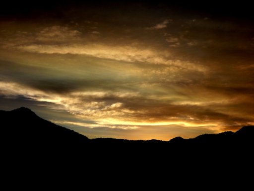
This very beautiful series (something about the colors!) was snapped quickly by my wife on her iPhone while I was discovering my camera battery was flat. Natty, that phone is.
Just - Wow!