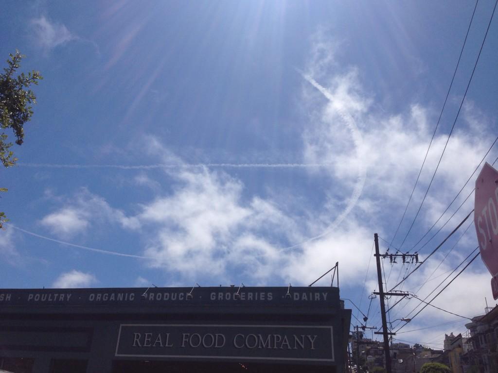
Several tweets about this today:
I'm assuming these are near real-time, as people tweet from their phones. That would put this one at around 12:50 PDT (UTC-7) 19:50 UTC.

It appears to be looking due south, from:
https://www.google.com/maps/@37.798...ata=!3m4!1e1!3m2!1s-sPfAqWdNiby8oINnOIJgw!2e0
View attachment 8450
This seems to be the culprit:

And it turns out we've see him before. NASA 502, a survey plane
https://www.metabunk.org/threads/u-turn-contrail-near-san-francisco-nasa-survey-plane.3654/
And here's today's track, still in progress:

http://flightaware.com/live/flight/NASA502
The Google Earth track is attached, and from the spot in the above photo, looks like:

I'm assuming these are near real-time, as people tweet from their phones. That would put this one at around 12:50 PDT (UTC-7) 19:50 UTC.

It appears to be looking due south, from:
https://www.google.com/maps/@37.798...ata=!3m4!1e1!3m2!1s-sPfAqWdNiby8oINnOIJgw!2e0
View attachment 8450
This seems to be the culprit:
And it turns out we've see him before. NASA 502, a survey plane
https://www.metabunk.org/threads/u-turn-contrail-near-san-francisco-nasa-survey-plane.3654/
And here's today's track, still in progress:
http://flightaware.com/live/flight/NASA502
The Google Earth track is attached, and from the spot in the above photo, looks like:
Attachments
Last edited:
