[NeedInfo]Persistent Contrails Picture Show

the second to last pic with the storm clouds rolling in is beautiful. i like that one.


edit add: they will need time. as humidity changes.

this isnt at plane altitude (dont know what france uses for that) but heres your local weather (ground level probably) showing how much humidity can change by the hour.

http://www.timeanddate.com/weather/france/dijon/historic
 
Last edited:
Here is my journey through France. Dijon / Lyon / Metz.

This was on 18th of May 2015.

Here is the exact route:

https://www.google.de/maps/dir/Dijo...e34b31458d0!2m2!1d5.04148!2d47.322047!1m0!3e0


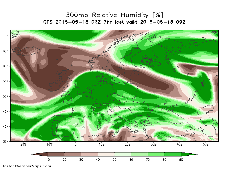
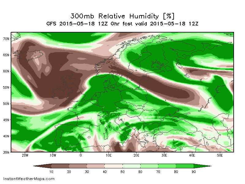
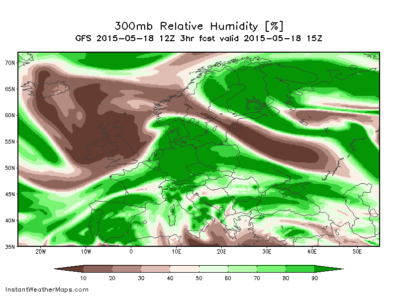
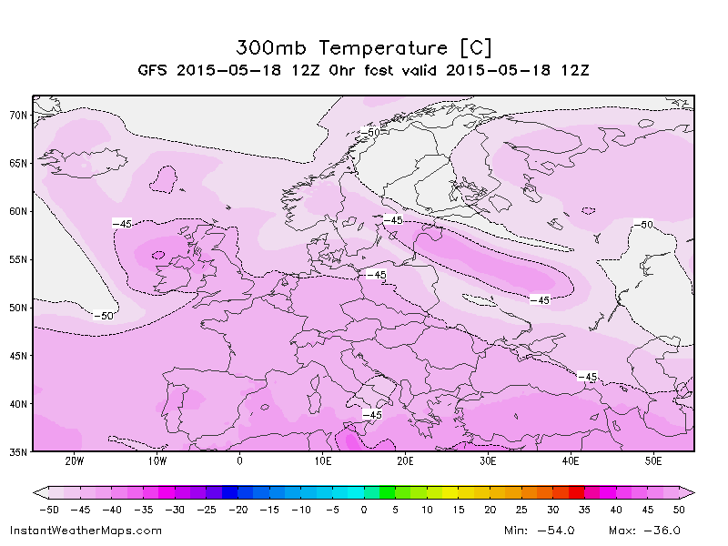
Anyone got weather data (humidity / temperature etc.) for this case? Or know where to look for it?

Here is the gallery, have fun:


You can find upper-air relative humidity and temperature charts at instantweathermaps.com , with a three-day archive free of charge.

Here are the humidity charts for 9am, 12 noon and 3pm UTC (11am, 2pm and 5pm Central European Summer Time) on May 18:


As you can see there was an area of very high (>90%) humidity at the 300mb level (30,000 feet) over northeastern France at that time.

The temperature at 300mb was between -42.5C and -45C. For instance this is the chart for 1200 UTC:


The scale is only graduated to 2.5C but based on the position of the -42.5C and -45C isotherms I would estimate the temperature over Metz to be about -44C.

That suggests good conditions for persistent contrails, as seen on the Appleman chart:


Taking the temperature as -44C, the required RH for persistence is 90% at 300mb.
 
Back
Top