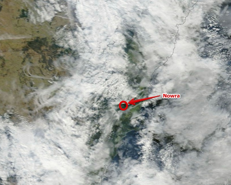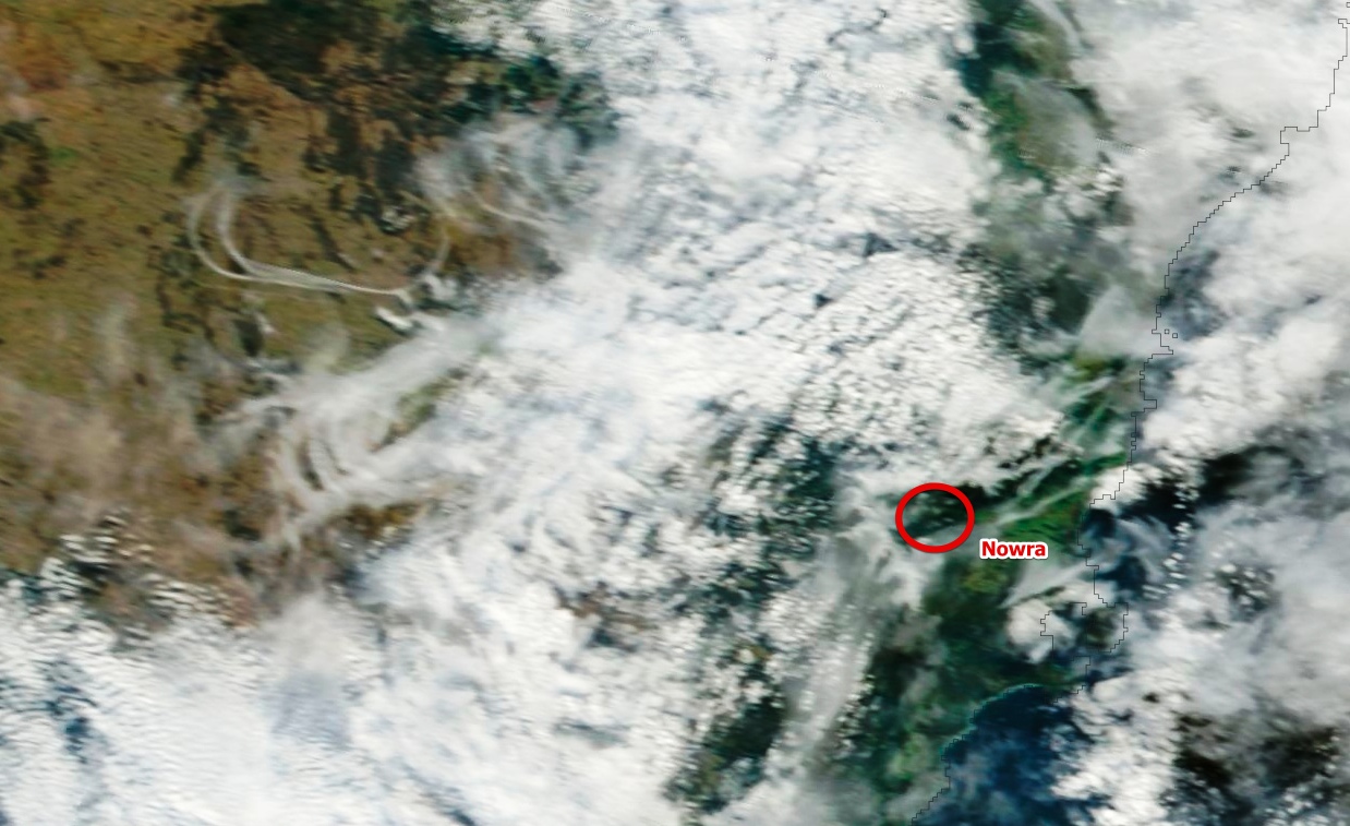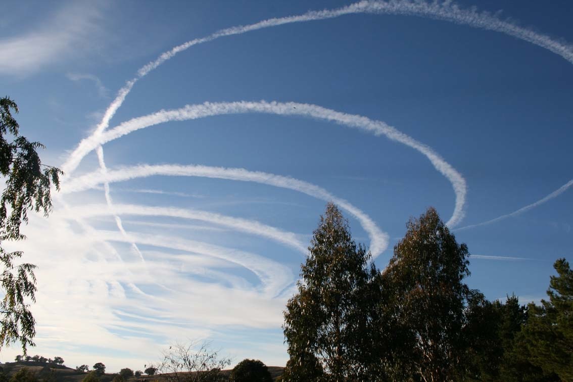
Holding Pattern Contrail near Nowra, Australia.

Mick West

Administrator
Staff member
Screenshot_20140605_003905.jpg


EOSDIS_Worldview_Alpha_20140605_091651_20140605_091658__100_RGB8__20140605_091740_20140605_091803__100_May_29_2013_RGB8__20140605_094815_20140605_094820.jpg


This particularly fine example comes from this Russian page:

http://kruzzik.livejournal.com/359953.html
 
Last edited:
Interesting that Rosie knew exactly what she was looking at. However other people living nearby look up, see exactly the same thing, but interpret it very differently:

External Quote:
Published on Aug 27, 2012

Early morning 28th August , Nowra Australia , more contrails / chemtrails !
aussiebattler style
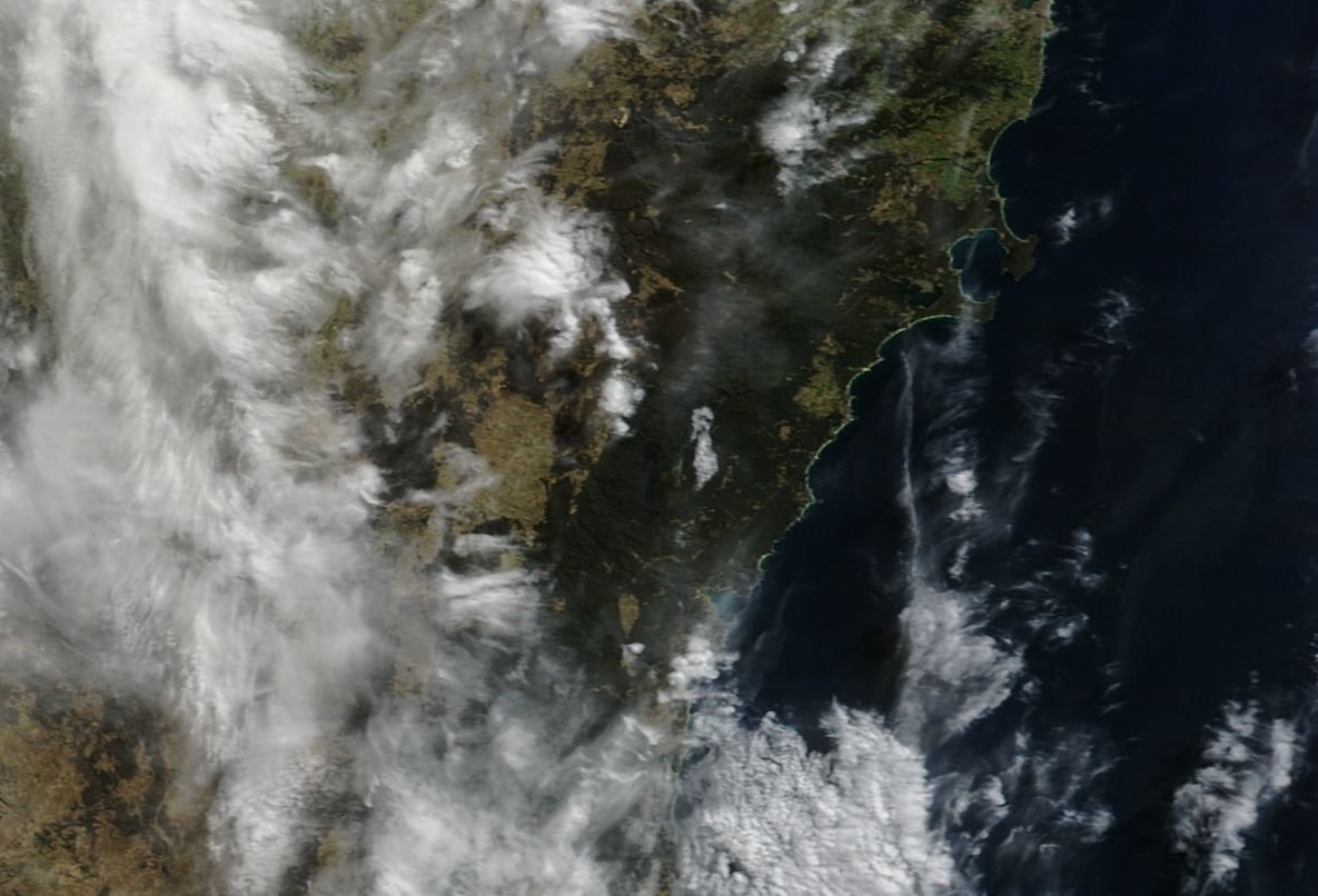
Satellites did not catch anything clearly, but shows the right kind of weather.
https://earthdata.nasa.gov/labs/wor...ap=148.207326,-36.419246,151.89214,-34.145076

EOSDIS_Worldview_Alpha_20140605_094013_20140605_094015.jpg
 
I wonder if the pilots thought, after the first circuit, "Oh, noes! This will cause some trouble [in certain sectors of the community]!"
 
TARAL and CULIN are the two waypoints most used by ATC to Hold aircraft going into Sydney when arriving from the west. That looks like TARAL to me.

Oh, dear.

I posted on a YT video with a link to the World Hi Chart (@ SkyVector) and just pointed out the co-located Nowra VOR/NDB. (Thought it was easier than trying to explain an intersection to the bloke!).
 
Back
Top