Go Fast - Balloon theory

There has been discussion recently on social media regarding the possibility of Go Fast being a balloon.
Supposedly Go Fast was at around 13k feet it's being said and 300 miles off the coast.
The 300 miles is from a quote by Graves who said they were about that far out doing a race track pattern around the carrier when the flight crew saw Gimbal.
Of course Go Fast was supposedly filmed 16 minutes lqater by the same crew. So should be a round the same area.

Here is the debate on the balloon theory.

Those saying it cant be a balloon have brought up the points below.

1) A balloon rises at around 2 m/s and if went out to 300 miles off shore, it would need to have been travelling at 540 mph horizontally to get to a point 300 miles off shore and only be at 13k feet alt (due to the 2 m/s ascension)

My contention to this is that a balloon can be released :

A) partially deflated and only reach 13k feet top alt
B) or the balloon may slowly deflate as it rises resulting in a slowing ascesion rate and a final top alt of 13k feet
C) or as it leaked it may have gone higher than 13k feet, and was seen at 300 miles out when it had descended to 13k feet

In either case ending up 300 miles off shore at 13k feet


Are my theories sound, or am I missing something here that makes it impossible for a balloon to be 300 miles off shore and at 13k feet?

One is assuming that the balloon actually came from the nearest shore. We actually have no idea. It might have been round the world twice for all we know.
 
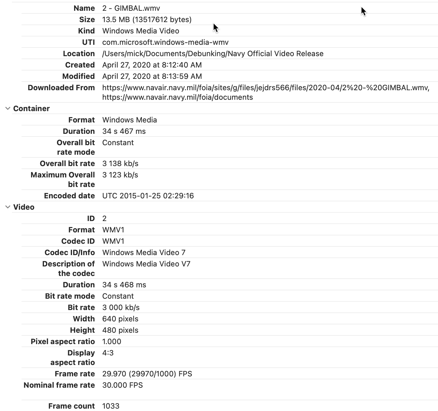
What if Gimbal/GoFast happened on the evening of January 24 EST? And not Jan21. Jan25 2:30 UTC is the date that is indicated in the metadata of the Gimbal video.


January 25 is also the dates given for these events (referred to as the new "Tic-Tac events"), in an unclassified DoD email Marik had found.


Source: https://twitter.com/MvonRen/status/1520055496836718593?s=20&t=If3RD6rJKKQVRkyjFkaVkQ


This correspond to 9:30pm local (EST), and R. Graves has said Gimbal was filmed in the evening at the end of a training exercise.

The evening of January 24 is a much closer match as far as wind speed close to 25000ft, compared to Januray 20. At 8pm local (Jan25 1UTC), now we find the wind being >110 knots at 300 miles off Jacksonville. The wind is also stronger at 14000ft that evening, but for the wind to reach 100Knots they would have to be very far off the coast.

Jan 25 1UTC (8pm local EST)
1675966063904.png
Below I show it a bit earlier, 5pm local, to check the whole evening. Jacksonville is right in the band of strong westerlies at 24000ft (probably a bit stronger at 25000ft, i.e. ~120Knots).

So there is a strong possibility that Gimbal was filmed on January 25 UTC, despite the official document released by the Black Vault dating the events to January 21. Maybe a bureaucratic mistake?

It doesn't change the analyses, it only removes any remaining possibility that the Atlas rocket has something to do with it. I also like January 24 better because that's my birthday :)
For GoFast, more room for wind versus intrinsic speed, although the wind still does not reach the estimated ground speed me and Mick have found (>100 Knots).


Jan 24 22UTC (5pm local EST)
1675966309749.png
 
Last edited:
Didn't someone post a link where you can track meteorological balloons? I think it was in one of the threads dedicated to the Chinese spy balloon and related objects.
I don't have time now, but might be worth taking a look to see if there are any balloons in that area at the time of the video.
 
I'm reviving this topic due to the NASA UAP Panel discussion, where Joshua Semeter, the Director for Space Physics at Boston University, gave at talk that was essentially my initial analysis of GoFast

Source: https://youtu.be/PLyEO0jNt6M?t=302


In his "Determination of Object Velocity" he did a single turn-rate overhead analysis with no wind.
2023-06-01_08-25-43.jpg

The 34 knots, 40 mph, that he calculated, is in line with the range of possible speeds that I and others calculated back in 2018, in the original Go Fast thread:
https://www.metabunk.org/threads/go...onges-to-the-stars-academy-bird-balloon.9569/
(there's a LOT of work in that thread, some out-of-date, but a lot of relevant thoughts, calculations, data extractions, and visualizations)

This current thread outlines some of the issues with wind.

The 2D simple analysis:
  • Assumes zero wind, so airspeed is the same as ground speed. But the wind will be different at different altitudes, and reportedly 120 knots at 25,000 feet.
  • Assumes a single bank angle, when the bank angle changes.
  • Only considers two lines of sight.
Subsequent analysis using multiple lines of sight revealed some squiggly paths. But that is probably due to inaccuracies in the data.

Sitrec is my situation recreation tool, which I've not really looked at a for a few months, so I need to get back up to speed with what it is doing. But I think there's a variety of issues and unknowns:

TURN RATE, and its application

The turn rate is a simple function of the bank angle (extracted from the on-screen artifical horizon) and the jet speed (a constant: TAS, True Air Speed = 341 knots)
JavaScript:
function turnRate(bankDegrees, speedMPS) {
    var g = 9.77468   // local gravity at 36°latitude, 25000 feet https://www.sensorsone.com/local-gravity-calculator/
    var rate = (g * tan(radians(bankDegrees))) / speedMPS
return degrees(rate);
}

The current code takes the turn rate and uses it to rotate the jet each frame. The jet speed is then applied along the forward vector of the jet, meaning the jet is always pointing in the direction it is moving relative to the air around it. This does not seem entirely physically accurate, as the direction of the velocity of the jet will lag a little behind the direction of the body of the jet.

More realistically I'd have separate orientation, velocity, and angular velocity which would then all be affected by the combination of thrust, air pressure, and the configuration of the flight control surfaces. I think the lack of this is, in part, responsible for the irregular path.

In the Gimbal analysis this was "fixed" by adjusting the turn rate so the resultant video matched the movement of the clouds. In Gimbal, here's the resultant path using "Match Clouds"

2023-06-01_10-34-02.jpg
And then using "Bank and Speed"

2023-06-01_10-34-59.jpg

GoFast currently does not have a "match water" option, and we have a somewhat irregular path.

2023-06-01_10-49-43.jpg

Matching video is the ultimate arbiter of the simulation. Inaccuracies come from inadequacies (and possibly errors) in the simulation, and errors or low resolution in the input data. Here we are essentially driving the bank angle from the cloud motion, and then using that in our simple model, but it does not mean that it's simply the bank angle that was wrong. There are other sources of error.

INACCURACIES IN ON SCREEN NUMBERS

The numbers we use are Azimuth, Elevation, and Range. The most obvious limitation is that they are low resolution - to 1 degree, or 0.1 NM for range. But they are also of uncertain fidelity. The angles are probably accurate to within 1°. The RNG value is in steps of about 600 feet, and it's not clear how it is derived. Some have said it's totally wrong, and the object is down by the water. I'm working under the assumption that it's roughly correct.

PITCH

Pitch seems to be displayed by the position of the plane angle above the artifical horizon. At the start the wings are level, and the plane pitched up a bit. When they bank to the left, they pitch up a bit, and then this pitch is gradually reduced. This is probably the autopilot pitching up and increasing thrust to maintain speed and altitude. I'm not sure if this plays a part - but it might be responsible for the initial curve of the path after lock-on.


For now I need to dig back into the code (and data), and start by visualizing the data a bit better to see why the end result is the way it is. I'll work towards using the water speed (and direction) as a driver.
 
Last edited:
Sitrec is my situation recreation tool, which I've not really looked at a for a few months, so I need to get back up to speed with what it is doing.
I finally took a look today. One thing I noticed was that I had the same TAS of 341 knots in all three of Gimbal, GoFast, and FLIR1, however It should have been Gimbal 351, Gofast 369, and FLIR1 333.

I wrote a TAS calculator to verify the numbers:
https://www.metabunk.org/TAS/

Using these equations
https://edwilliams.org/avform147.htm#Mach

Which matches the equations and results here:
https://aerotoolbox.com/airspeed-conversions/

It might still be slightly off as it's assuming Standard Temperature and Pressure with a sea-level temp of 15°C. Also, for GoFast it's using an average of 254 CAS, when CAS varies from 253 to 259. But it's better than the old TAS of 341. A sea-level temp of 20°C would increase it slightly from 369 to 372, so not a huge factor.

A while back I'd added a two-point traversal. Clearly using the AZ, EL and RNG was far too noisy, and the resultant video did not match. But changing to just using the start and end values and a linear extrapolation gave a much better match with the video. It's also easier to line up the wind direction, and get airspeed to zero.


2023-11-05_11-52-39.jpg

So this give a wind speed of 65 knots, which is more reasonable than prior results. Also likely more accurate, since the video is a better match.

It probably can be refined more.

It's the default setting now.
https://www.metabunk.org/sitrec/?sitch=gofast
 
Last edited:
Back
Top